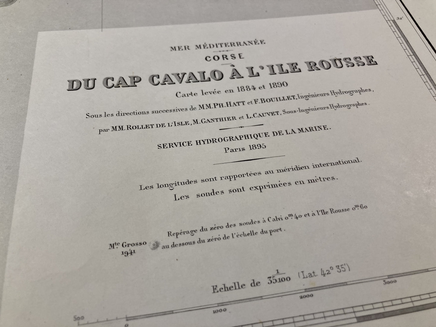
Old nautical chart from Cape Cavalo to Île Rousse
Old nautical chart from Cape Cavalo to Île Rousse
Regular price
90,00 €
Regular price
Sale price
90,00 €
Unit price
per
Taxes included.
Couldn't load pickup availability
This old nautical chart of Corsica, from Cape Cavalo to Île Rousse, was produced by the Service Hydrographique de la Marine, ancestor of the SHOM. It dates from the middle of the 20th century and its size is 105x75cm.
Condition:
Fold in the center and writing. Please note, my maps are old and are not always in perfect condition!
List of towns and villages represented:
Saleccia, Île Rousse, Algajola, Calvi, Port Agro, Corbara, Monticello


