


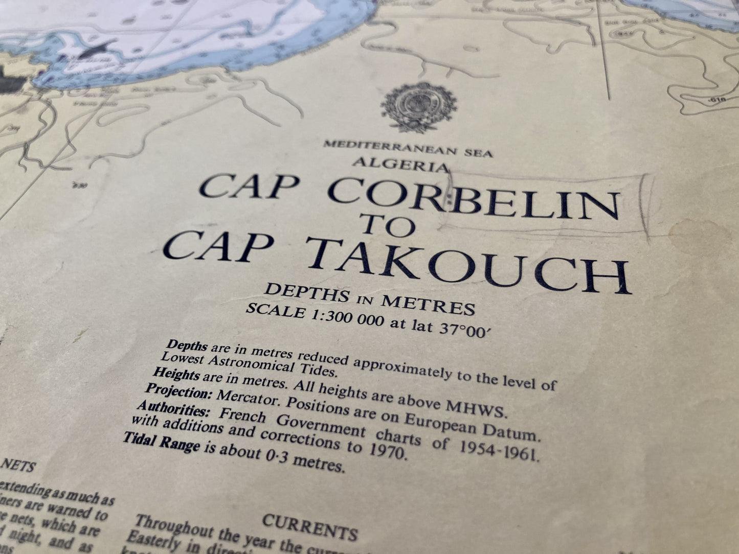
Old English nautical chart from Cape Corbelin to Cape Takouch
Old English nautical chart from Cape Corbelin to Cape Takouch
Regular price
60,00 €
Regular price
Sale price
60,00 €
Unit price
per
Taxes included.
Couldn't load pickup availability
This old nautical chart representing the Algerian coast, from Cape Corbelin to Cape Takouch, was produced by the French Hydrographic Service. Its dimension is 104x71cm.
Condition:
Minimal folds, ink stains and tears. Please note, my maps are old and are not always in perfect condition!


-

“Hello, thank you for sending this, the cards are superb!”
Jean-Philippe
-
"They are very beautiful, just need to frame them! Thank you"
Baptiste
-
"Fast shipping and very good tracking."
Alice
-
"My husband loved the maps I gave him for Christmas!"
Solène

-

Secure payment
-

Careful shipping
-

No reproduction
-

Satisfied or refunded


