


Old Michigan Road Map by Shell - ca. 1950
Old Michigan Road Map by Shell - ca. 1950
Couldn't load pickup availability
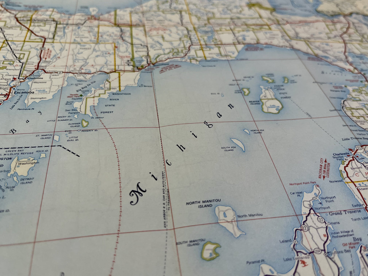
This old road map of the United States is composed of the northern part of Michigan on the front and the southern part of the state on the back. It was published by the Shell company in the 1950s and its dimensions are 68x45.5cm.
Condition:
Minimal creases and stains. This map is sold folded (see photos). Please note, my maps are old and are not always in perfect condition!
List of States represented:
Michigan


-

Secure payment
-

Careful shipping
-

No reproduction
-

Satisfied or refunded


-

“Hello, thank you for sending this, the cards are superb!”
Jean-Philippe
-
"They are very beautiful, just need to frame them! Thank you"
Baptiste
-
"Fast shipping and very good tracking."
Alice
-
"My husband loved the maps I gave him for Christmas!"
Solène
