


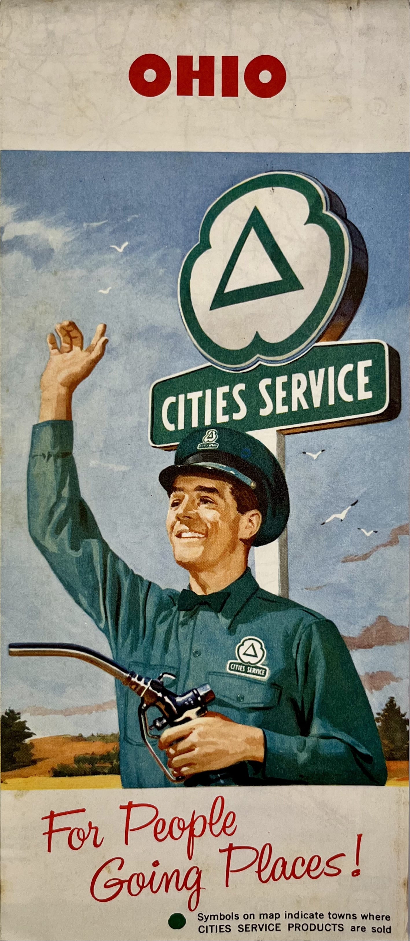
Old Ohio Road Map by Cities Services - ca. 1950
Old Ohio Road Map by Cities Services - ca. 1950
Regular price
30,00 €
Regular price
Sale price
30,00 €
Unit price
per
Taxes included.
Couldn't load pickup availability
This old road map of the United States consists of a map of Northern Ohio on the front and the South on the back. It was published by the company Cities Services in the 1950s and its dimensions are 68x45.5cm.
Condition:
Minimal creases and stains. This map is sold folded (see photos). Please note, my maps are old and are not always in perfect condition!
List of States represented:
Ohio


-

Secure payment
-

Careful shipping
-

No reproduction
-

Satisfied or refunded


-

“Hello, thank you for sending this, the cards are superb!”
Jean-Philippe
-
"They are very beautiful, just need to frame them! Thank you"
Baptiste
-
"Fast shipping and very good tracking."
Alice
-
"My husband loved the maps I gave him for Christmas!"
Solène
