


Antique road map of the Western and Central United States by Shell - ca. 1950
Antique road map of the Western and Central United States by Shell - ca. 1950
Couldn't load pickup availability
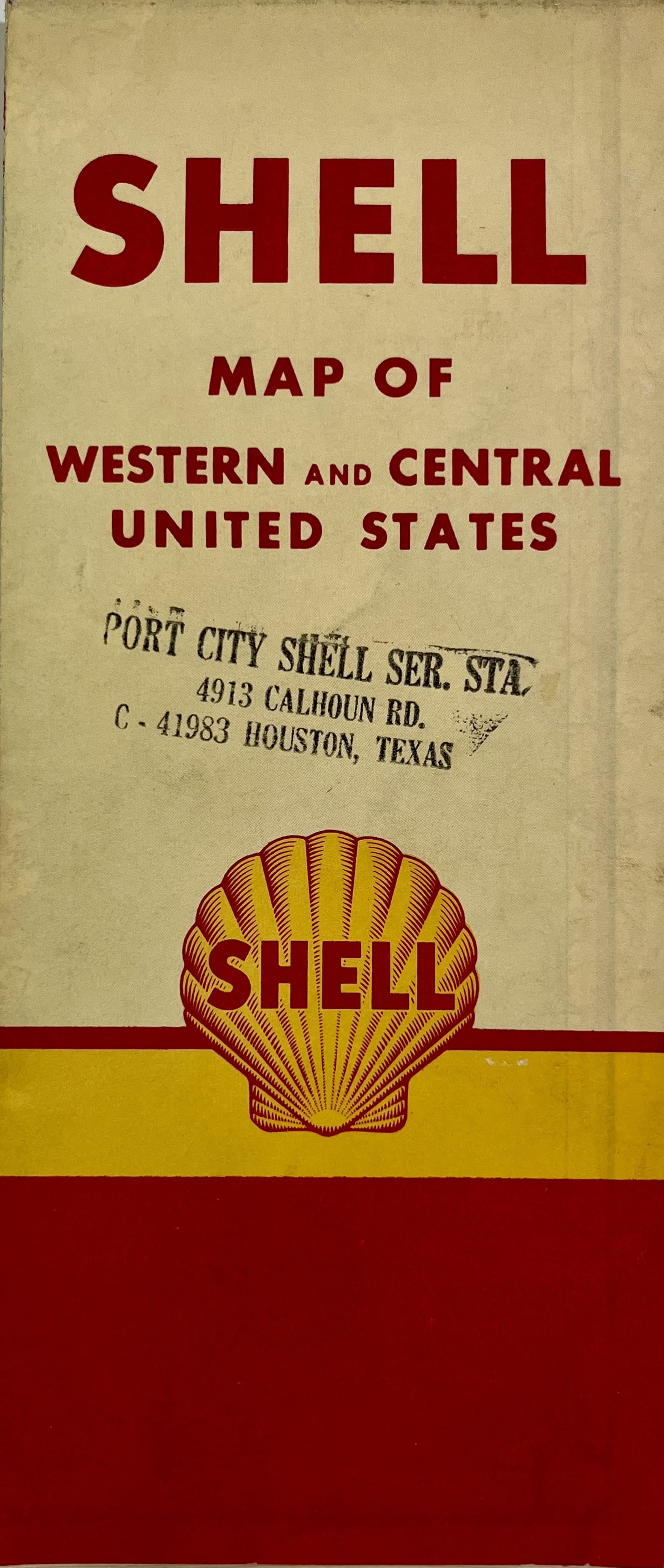
This old road map of the United States is composed of a map of the central United States on the front and a map of the West on the back. It was published by the Shell company in the 1950s and its dimensions are 77.5x45.5cm.
Condition:
Minimal creases and stains. This map is sold folded (see photos). Please note, my maps are old and are not always in perfect condition!
List of States represented:
Texas, Oklahoma, Louisiana, Mississippi, Arkansas, Missouri, Kansas, Nebraska, South Dakota, North Dakota, Minnesota, Iowa, Wisconsin, Illinois, Washington, Oregon, California, Utah, Nevada, Idaho, Wyoming, Montana, Colorado, New Mexico


-

Secure payment
-

Careful shipping
-

No reproduction
-

Satisfied or refunded


-

“Hello, thank you for sending this, the cards are superb!”
Jean-Philippe
-
"They are very beautiful, just need to frame them! Thank you"
Baptiste
-
"Fast shipping and very good tracking."
Alice
-
"My husband loved the maps I gave him for Christmas!"
Solène
