


Map of Nice by O. Poisson, ca. 1930
Map of Nice by O. Poisson, ca. 1930
Couldn't load pickup availability
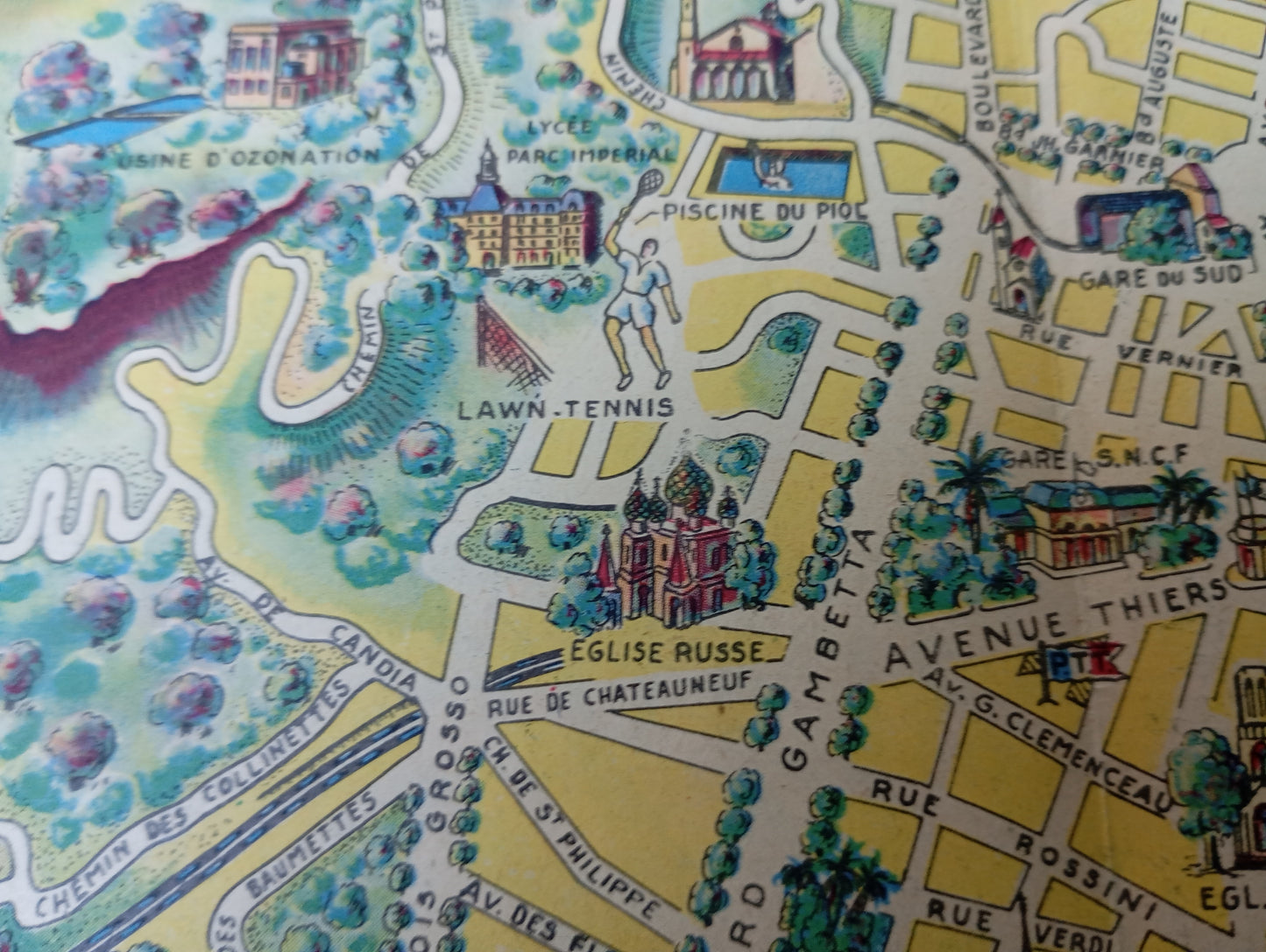
This map of Nice, illustrated by O. Poisson, is a pictorial tourist map that offers a detailed and artistic view of the city and its surroundings. The map highlights the Baie des Anges with the famous Promenade des Anglais, and depicts the city's main monuments and iconic sites with delicate illustrations. The author used a soft color palette and fine lines to draw the streets, parks, and buildings. Tourist icons, vintage cars, and details like the airfield or the Municipal Casino add to its charm and character. The map, donated by the City of Nice and its Tourist Office, is a fine example of tourist cartography of the period, combining utility and aesthetics. The map measures 42 cm by 28 cm.
Condition :
Good condition Please note, my maps are old and are not always in perfect condition!
List of main places represented:
Promenade des Anglais, Bay of Angels, Old Nice, Albert I Garden, Opera, Sainte-Réparate Cathedral, Place Masséna, Avenue Thiers, Russian Church, Masséna Museum.


-

Secure payment
-

Careful shipping
-

No reproduction
-

Satisfied or refunded


-

“Hello, thank you for sending this, the cards are superb!”
Jean-Philippe
-
"They are very beautiful, just need to frame them! Thank you"
Baptiste
-
"Fast shipping and very good tracking."
Alice
-
"My husband loved the maps I gave him for Christmas!"
Solène
