


Map of Zurich - Swiss Bank - 1939
Map of Zurich - Swiss Bank - 1939
Couldn't load pickup availability
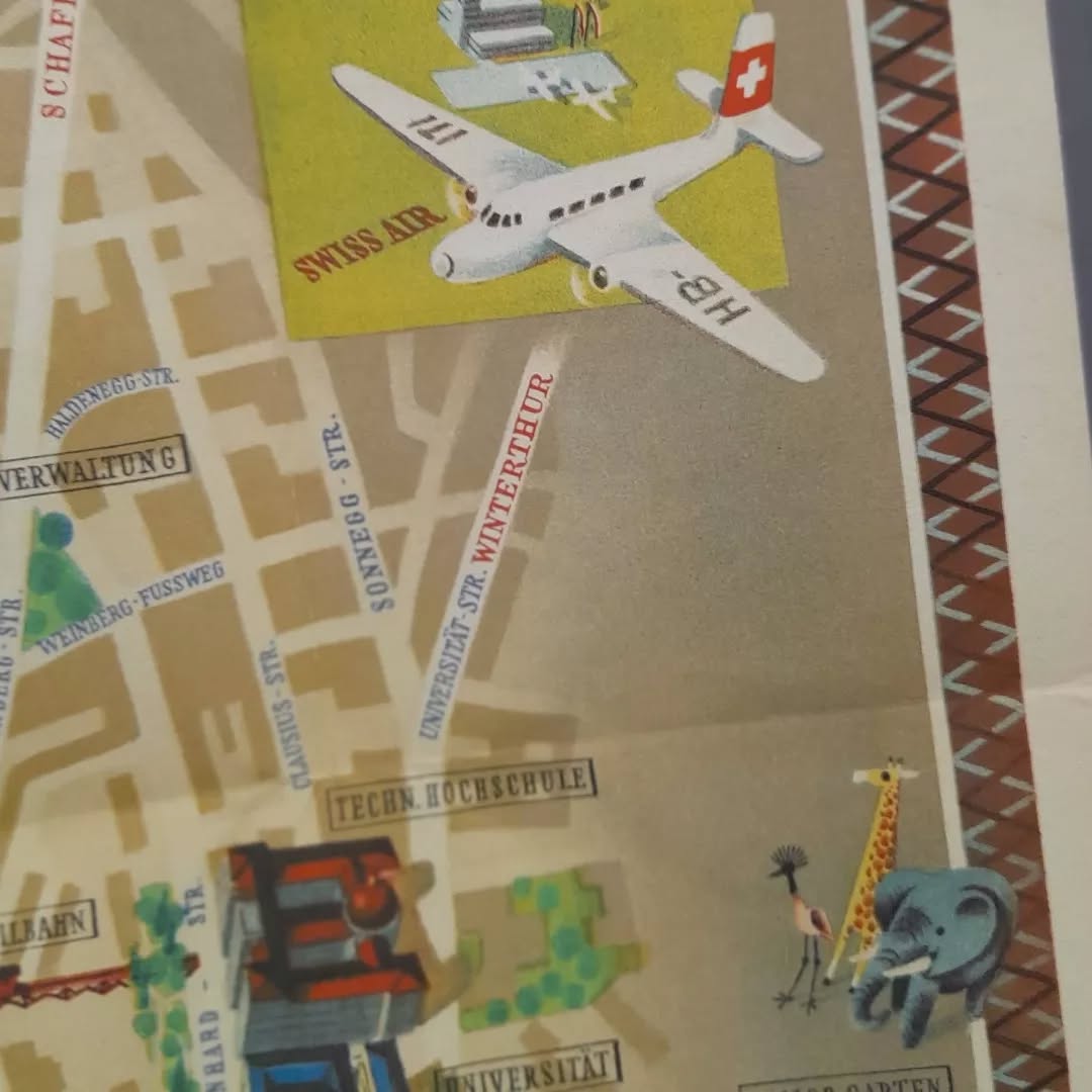
This advertising poster is a pictorial and tourist map of Zurich, commissioned by the "Schweizerische Bankgesellschaft" (Swiss Bank Society) / "Union of Swiss Banks". The map is richly illustrated, representing in perspective the emblematic buildings, streets, bridges, Lake Zurich and the Limmat River. The illustration highlights many of the city's points of interest, such as churches (Grossmünster, Fraumünster, Predigerkirche), the Techn. Hochschule (ETH), the Universität, the Rathaus (Town Hall), as well as recreational places such as the Zoo/Zoological Garden, the Grand-Hôtel Dolder and the golf course (Golf-Platz). We also see a Swiss Air plane flying over the city and illustrations of animals (giraffe, elephant, flamingo) probably representing the zoo. The legend at the top left indicates the issuing bank. The illustrations are charming and detailed, giving a glimpse of the city at that time. The map measures 40 cm by 40 cm.
Condition :
Very good condition Please note, my maps are old and are not always in perfect condition!
List of main places represented:
Zurich, Limmat, Lake Zurich, Grossmünster, Fraumünster, Rathaus, Lindenhof, St. Peter, Kunsthaus, National Museum, Techn. Hochschule, Universität, Zoo Garten, Grand-Hotel Dolder


-

Secure payment
-

Careful shipping
-

No reproduction
-

Satisfied or refunded


-

“Hello, thank you for sending this, the cards are superb!”
Jean-Philippe
-
"They are very beautiful, just need to frame them! Thank you"
Baptiste
-
"Fast shipping and very good tracking."
Alice
-
"My husband loved the maps I gave him for Christmas!"
Solène
