


Monumental plan of Strasbourg - ca. 1930
Monumental plan of Strasbourg - ca. 1930
Couldn't load pickup availability
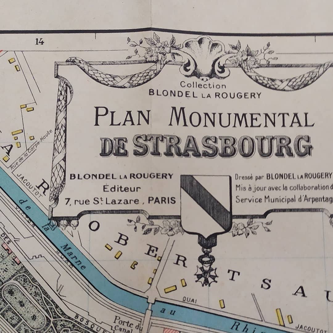
This monumental map of Strasbourg comes from the collection of Parisian publisher Blondel La Rougery. The map presents a clear topography with urban blocks in yellow, waterways such as the Ill in blue, and certain public buildings in red. Its "monumental" particularity lies in the detailed perspective illustrations of the city's most emblematic buildings, notably Notre-Dame Cathedral (Dome) and the palaces of the Place de la République. The map was drawn up by Blondel La Rougery and updated with the collaboration of the Municipal Surveying Service, offering an accurate representation of the streets of the period.
Condition :
Good condition Please note, my maps are old and are not always in perfect condition!
List of main places represented:
Strasbourg, Grande Île, Strasbourg Cathedral, Place de la République, Palais du Rhin, Library, Municipal Theatre, Lycée Foch, Place Kléber, German Quarter (Neustadt), Robertsau, Cronenbourg, Koenigshoffen, Neudorf, L'Ill, Marne-Rhine Canal.


-

Secure payment
-

Careful shipping
-

No reproduction
-

Satisfied or refunded


-

“Hello, thank you for sending this, the cards are superb!”
Jean-Philippe
-
"They are very beautiful, just need to frame them! Thank you"
Baptiste
-
"Fast shipping and very good tracking."
Alice
-
"My husband loved the maps I gave him for Christmas!"
Solène
