


Pictorial tourist map of Treviso - Italy, ca. 1950
Pictorial tourist map of Treviso - Italy, ca. 1950
Couldn't load pickup availability
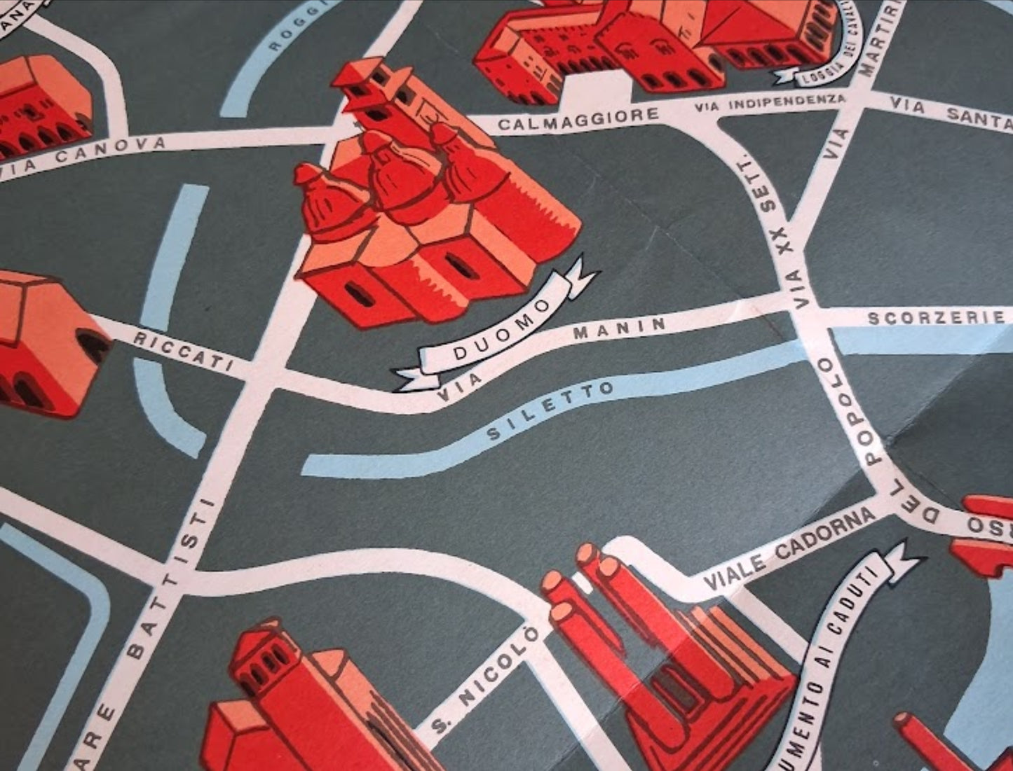
An old, illustrated map of the city of Treviso in Italy. This geographical and tourist map presents the city plan in a colorful, pictorial style typical of the 1950s. Set against a gray-green background, the map highlights the main buildings and points of interest in brick red, offering a stylized view of the city. Rivers and canals (such as the Sile and the Cagnan) are shown in light blue, flowing through the city and defining the historic center, which is enclosed by the city walls (clearly visible in the image). The map is richly detailed, showing streets, squares, and monuments with labels identifying places such as the Duomo, Palazzo dei Trecento, Loggia dei Cavalieri, San Nicolò, and Pescheria (visible in close-ups). This type of map, both informative and decorative, was often used to promote tourism. The illustration is signed in the lower right corner. The map measures 47 cm by 34 cm.
Condition:
Very good. Please note, my maps are old and not always in perfect condition!


-

Secure payment
-

Careful shipping
-

No reproduction
-

Satisfied or refunded


-

“Hello, thank you for sending this, the cards are superb!”
Jean-Philippe
-
"They are very beautiful, just need to frame them! Thank you"
Baptiste
-
"Fast shipping and very good tracking."
Alice
-
"My husband loved the maps I gave him for Christmas!"
Solène
