


Old and illustrated map of Antibes - Juan-les-Pins by Vic Raymon - 1949
Old and illustrated map of Antibes - Juan-les-Pins by Vic Raymon - 1949
Couldn't load pickup availability
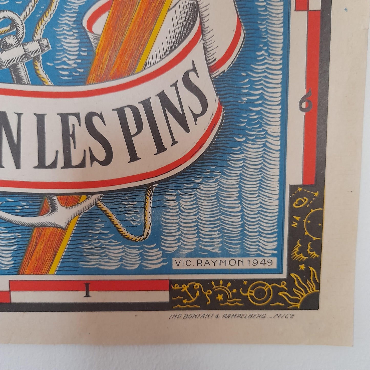
This antique pictorial map of Antibes and Juan-les-Pins, created by Vic Raymon in 1949, is a magnificent tourist representation of this famous part of the French Riviera. The map is richly colored and detailed, highlighting the street layout as well as the main buildings, beaches, and gardens of the period. Numerous vignettes illustrate local life and leisure activities, such as people in traditional costume, tennis players, water skiers, and sailboats. It also features representations of iconic monuments such as Fort Carré in Antibes, the Garoupe lighthouse, and prestigious hotels such as the Eden-Roc. The map is also adorned with decorative elements, including a large figure of Neptune and the town's coat of arms, and was published for the Tourist Office. The map measures 64 cm by 45 cm.
Condition :
Very good condition Please note, my maps are old and are not always in perfect condition!
List of main places represented:
Antibes, Juan-les-Pins, Cap d'Antibes, Golfe Juan, Port Vauban, Fort Carré, La Pinède, Thuret Gardens, Garoupe Lighthouse, Casino, Eden-Roc, Grand Hôtel du Cap.


-

Secure payment
-

Careful shipping
-

No reproduction
-

Satisfied or refunded


-

“Hello, thank you for sending this, the cards are superb!”
Jean-Philippe
-
"They are very beautiful, just need to frame them! Thank you"
Baptiste
-
"Fast shipping and very good tracking."
Alice
-
"My husband loved the maps I gave him for Christmas!"
Solène
