


Vintage illustrated map of Midtown Manhattan, New York, by Constantine Anderson - ca. 1980
Vintage illustrated map of Midtown Manhattan, New York, by Constantine Anderson - ca. 1980
Couldn't load pickup availability
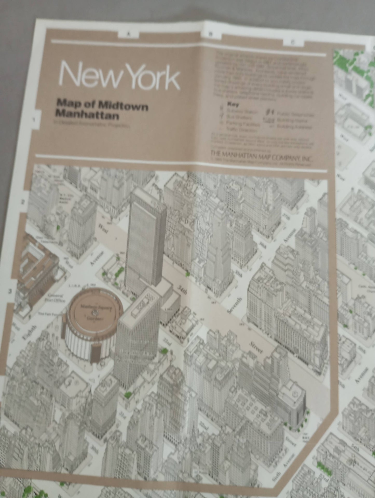
This tourist and geographical poster, produced by Anderson Isometric Maps and designed by Constantine Anderson, features a detailed axonimetric projection of Midtown Manhattan. The axonimetric technique, or isometric perspective view, gives a sense of relief and three-dimensionality to all the buildings, streets, and green spaces, allowing for an exceptionally accurate bird's-eye view of this densely populated area of New York City. The illustration is rendered in muted tones, with buildings drawn in thin, shaded gray-beige lines, contrasting with the vivid green of the trees and Central Park, and the blue of the East River. Each building is drawn with a remarkable level of detail. Artist Constantine Anderson, known for his meticulous work, began the original work as early as 1961 and continually updated it until 1981 (the edition here is dated 1980), capturing a slice of urban history. An insert in the upper right corner provides a key to the symbols used (metro stations, bus shelters, etc.) and information about the publication. This work is both an accurate cartographic tool and a fascinating piece of graphic art. The map measures 61 cm by 94 cm.
Condition :
Good condition Please note, my maps are old and are not always in perfect condition!
List of main places represented:
Midtown Manhattan, Central Park, East River, Madison Square Garden (and its inset district), United Nations Secretariat Building, United Nations General Assembly Building, Fifth Avenue (Fifth Avenue), Sixth Avenue (Avenue of the Americas), Seventh Avenue, Eighth Avenue, 42nd Street, 34th Street.


-

Secure payment
-

Careful shipping
-

No reproduction
-

Satisfied or refunded


-

“Hello, thank you for sending this, the cards are superb!”
Jean-Philippe
-
"They are very beautiful, just need to frame them! Thank you"
Baptiste
-
"Fast shipping and very good tracking."
Alice
-
"My husband loved the maps I gave him for Christmas!"
Solène
