


Decorative map of Tokyo (German edition) - 1970s-80s
Decorative map of Tokyo (German edition) - 1970s-80s
Couldn't load pickup availability
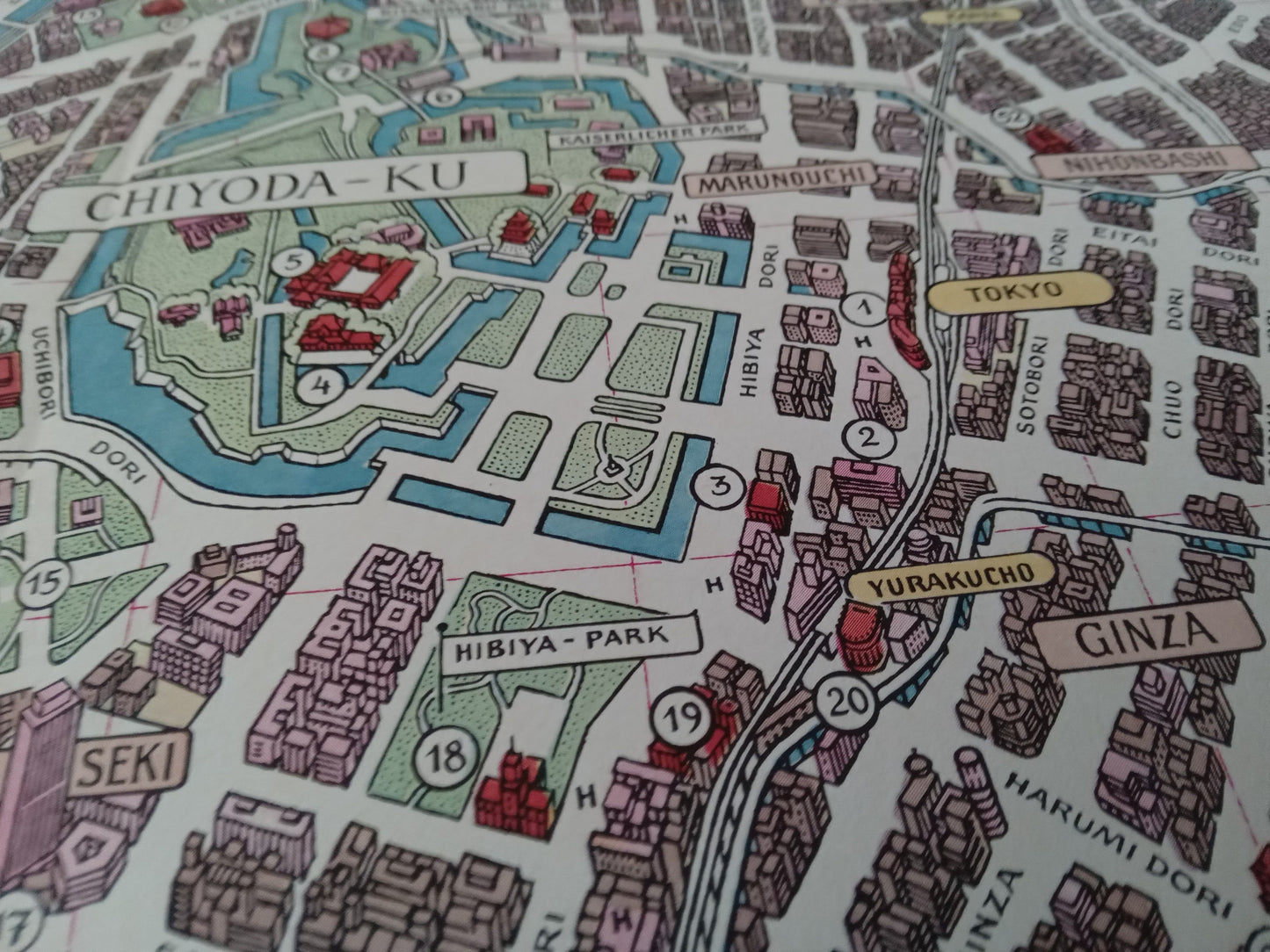
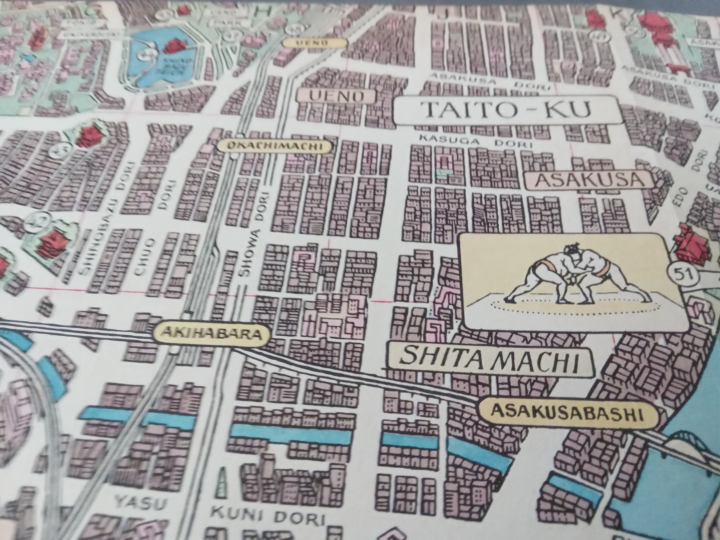
This illustrated map of Tokyo (27 x 55 cm), published in German in the 1970s and 1980s, delves into the bustling heart of the Japanese capital. It features the iconic districts of Shinjuku, Chiyoda, Taito, and Minato, interspersed with canals, temples, parks, and stylized skyscrapers.
The map blends urban readability with a vintage aesthetic, featuring a detailed legend, a compass rose, decorative Japanese coats of arms, and an inset, expanded view of the city. A true blend of history and modernity, perfect for fans of Tokyo, Japanese architecture, and graphic cartography.
Condition :
Very good condition. Please note, my maps are old and not always in perfect condition!
List of main places represented:
Tokyo, Shinjuku-ku, Chiyoda-ku, Chuo-ku, Shibuya-ku, Bunkyo-ku, Taito-ku, Sumida-ku, Tokyo Bay, Japan, Asia

-

Secure payment
-

Careful shipping
-

No reproduction
-

Satisfied or refunded


-

“Hello, thank you for sending this, the cards are superb!”
Jean-Philippe
-
"They are very beautiful, just need to frame them! Thank you"
Baptiste
-
"Fast shipping and very good tracking."
Alice
-
"My husband loved the maps I gave him for Christmas!"
Solène
