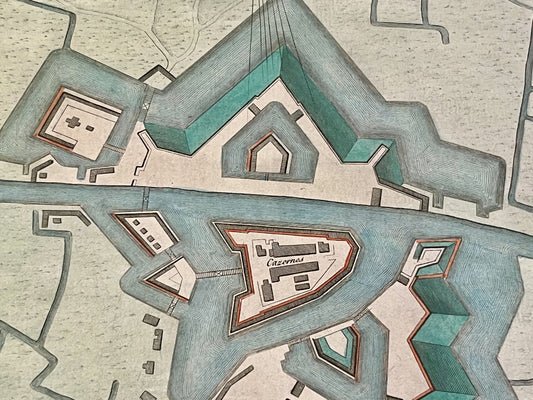
A Military Engineer at the Heart of French Geography
Born in Hanover as Georg Ludwig, Le Rouge settled in Paris around 1736 after a stint as a military engineer in the service of Maurice de Saxe. This technical training deeply influenced his work: he became one of the most prolific publishers of maps of strongholds and theaters of war. Appointed "King's Engineer Geographer," he published numerous military atlases and detailed maps illustrating the major conflicts of his time, notably the War of the Austrian Succession and the Seven Years' War, thus providing precise documentation on troop movements and European fortifications.
The "Détail des nouveaux jardins à la mode" and Anglo-Chinese Influence
While Le Rouge was an expert in war maps, he is also famous for a work of a completely different nature: the Détail des nouveaux jardins à la mode (Detail of new fashionable gardens). Published in 21 fascicles between 1776 and 1787, this monumental collection is the most important source for understanding the evolution of landscape art in the 18th century. In it, he documented with extreme precision the "Anglo-Chinese" gardens then in vogue, offering plans of famous parks across Europe. This versatility, rare among cartographers of his era, made him a privileged witness to both geopolitics and the aesthetic tastes of Enlightenment society.
A Varied Catalog: From Maps of America to Maritime Atlases
Le Rouge's influence extended far beyond European borders. He is notably responsible for publishing one of the most famous versions of Benjamin Franklin's Gulf Stream map, as well as detailed maps of North America during the American Revolutionary War. His catalog also included maritime atlases (the Pilote de la Manche) and highly clear topographical maps. For collectors, a map signed Le Rouge is synonymous with meticulous engraving and geographical information often at the forefront of the discoveries and trends of his century.