A Master Publisher in the Dutch Enlightenment Era
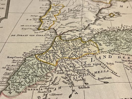
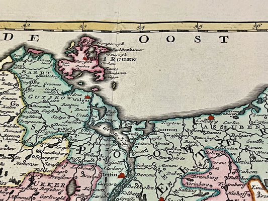
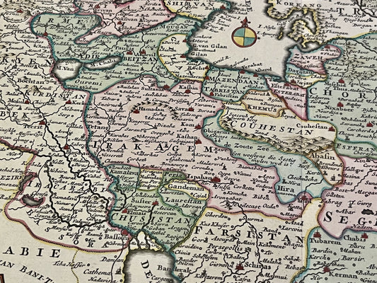
Isaak Tirion ran a prolific publishing house located on Kalverstraat in Amsterdam, a nerve center of the book trade. Unlike the heavily ornamented works of Golden Age cartographers, Tirion favored a more modern and understated approach. His most famous work, the Nieuwe en Beknopte Hand-Atlas (New and Concise Hand-Atlas), was the result of a rigorous selection of the best geographical sources of his time. His maps are prized by collectors for their exceptional legibility, high-quality paper, and meticulous engravings, often enhanced with finely applied watercolor.
Tirion's Atlas and the Documentation of the Netherlands
Beyond his world and continental maps, Isaak Tirion made an invaluable contribution to the topography of the Netherlands. His monumental work, Tegenwoordige Staat der Vereenigde Nederlanden (Present State of the United Netherlands), published in several volumes, provides an exhaustive geographical and historical description of the United Provinces. His city plans and regional maps are remarkably accurate for the period, reflecting the territorial changes and crucial hydraulic engineering developments in 18th-century Holland.
A Work Disseminated Across Europe
The quality of Tirion's maps allowed them to cross borders. His works are often found in translated editions or incorporated into reference works published by other contemporary European publishers. His catalog also included highly detailed maps of America and Asia, incorporating the latest colonial discoveries. Today, Isaak Tirion's maps are sought after not only for their historical value but also for their balanced aesthetic, marking the transition towards increasingly scientific and utilitarian cartography.