The rise of Johann Baptist Homann and the Nuremberg school
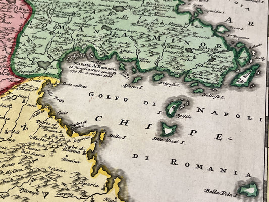
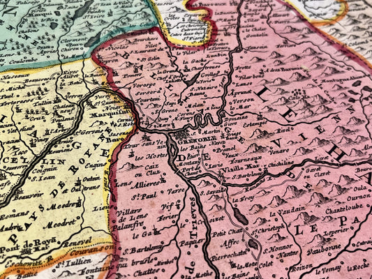
Johann Baptist Homann (1664-1724) is a central figure in German cartography. After abandoning an ecclesiastical career to pursue engraving, he founded his own publishing house in Nuremberg in 1702. His style is distinguished by high-quality artistic execution, using finely engraved copper plates and particularly rich hand-coloring, which allowed German production to compete directly with Dutch and French publishers of the time.
The privilege of Imperial Geographer and commercial innovation
Homann's renown led to his appointment as official geographer to Emperor Charles VI in 1715, a prestigious title which he proudly displayed on his maps (often under the heading Sacrae Caesareae Majestatis Geographus. Homann has democratized access to high-quality maps by streamlining atlas production, notably with its famous Grosser Atlas über die ganze Welt. His influence was such that he was also elected a member of the Royal Prussian Academy of Sciences, consolidating his status as a scientific authority.
A rich and decorative cartographic style
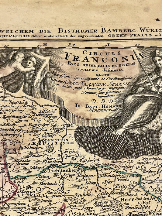
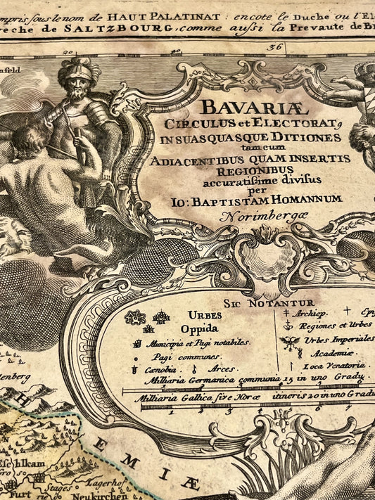
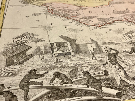
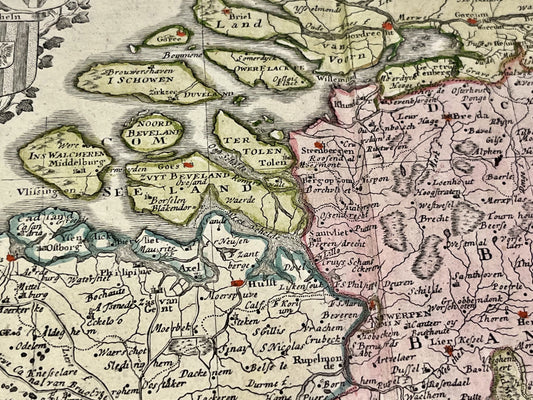
Homann's maps are instantly recognizable by their elaborate cartouches and allegorical illustrations. They do more than simply delineate borders; they tell the story of the history, politics, and discoveries of his time. Whether his detailed maps of the German states, his depictions of the Americas, or his city maps, each document reflects a desire to combine geographical accuracy with Baroque aesthetics. After his death, his legacy endured for over a century under the banner of the "Homann Heirs" (Homann Heirs).