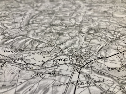
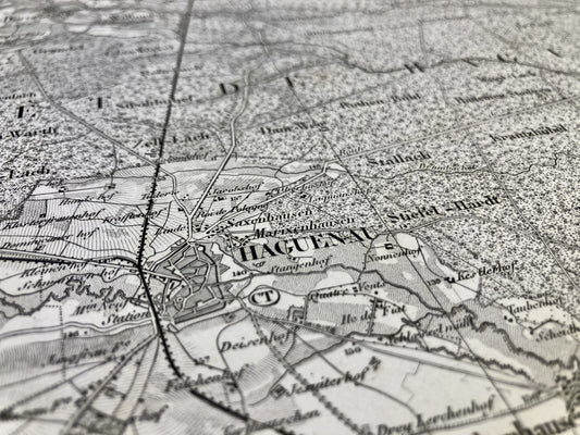
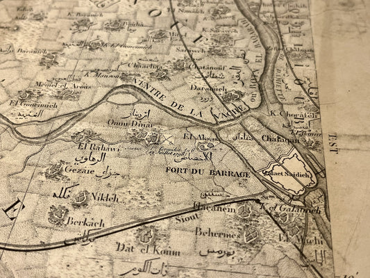
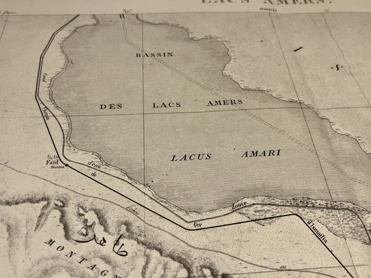
Explore the elegant aesthetic of the French General Staff maps, visual witnesses to the cartographic history of the 19th century. Their precision and captivating detail offer a unique insight into the territories and military events of the time.
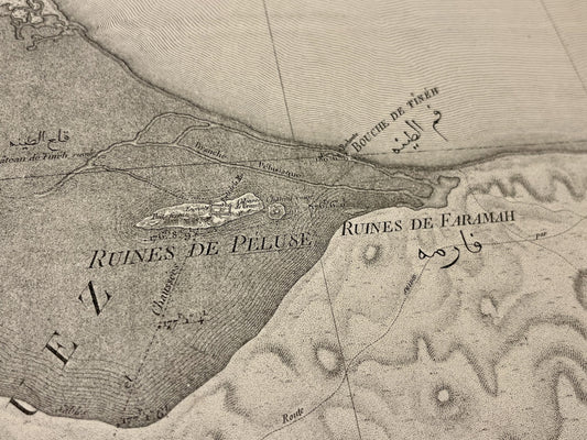
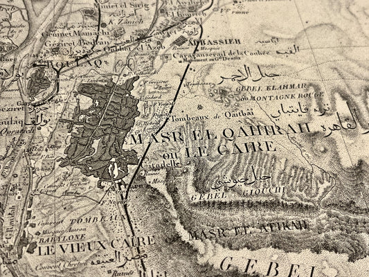
French General Staff maps were created in the 19th century as part of military topographical projects aimed at documenting territories and strategic infrastructures. Their development is closely linked to the rise of modern cartography and the evolution of topographic survey techniques. These maps played a crucial role in planning military operations and left a lasting legacy as valuable witnesses to geographical history.
Also discover my wide range of other historical maps, such as Cassini maps, old IGN maps and nautical charts, each offering a unique perspective on our geographic past. Whatever your cartographic passion, my collection will meet your needs and feed your curiosity.