-
Map of the Herbiers Vicinal Service
Regular price 52,00 €Regular priceUnit price per -
Chantonnay Vicinal Service Map
Regular price 52,00 €Regular priceUnit price per -
Map of the Fontenay-le-Comte Vicinal Service
Regular price 52,00 €Regular priceUnit price per -
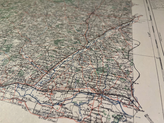
Evron Vicinal Service Map
Regular price 52,00 €Regular priceUnit price per -
Map of the Sablé-sur-Sarthe Vicinal Service
Regular price 52,00 €Regular priceUnit price per -
Durtal Vicinal Service Map
Regular price 52,00 €Regular priceUnit price per -
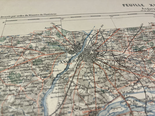
Map of the Vicinal Service of Angers
Regular price 52,00 €Regular priceUnit price per -
Map of the Doué-en-Anjou Vicinal Service
Regular price 52,00 €Regular priceUnit price per -
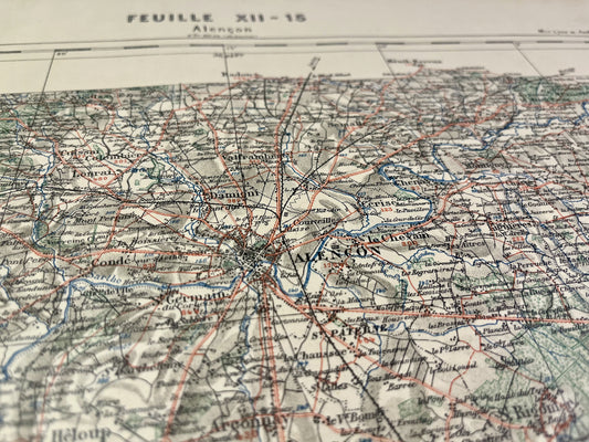
Alençon Vicinal Service Map
Regular price 52,00 €Regular priceUnit price per -
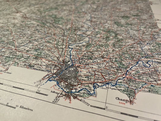
Map of the Vicinal Service of Le Mans (North)
Regular price 52,00 €Regular priceUnit price per -
Map of the Vicinal Service of Le Mans (South)
Regular price 52,00 €Regular priceUnit price per -
Map of the Vicinal Service of La Flèche
Regular price 52,00 €Regular priceUnit price per -
Saumur Local Service Map
Regular price 52,00 €Regular priceUnit price per -
Bonnétable Local Service Map
Regular price 52,00 €Regular priceUnit price per -
Saint-Calais Vicinal Service Map
Regular price 52,00 €Regular priceUnit price per -
Map of the Vicinal Service of Saint-Nazaire and La Baule
Regular price 64,00 €Regular priceUnit price per -
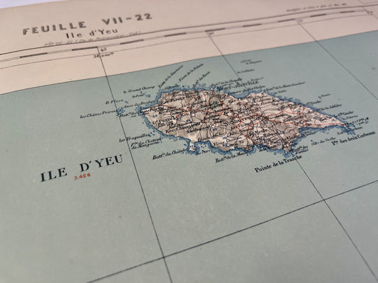
Map of the Vicinal Service of the Island of Yeu
Regular price 64,00 €Regular priceUnit price per -
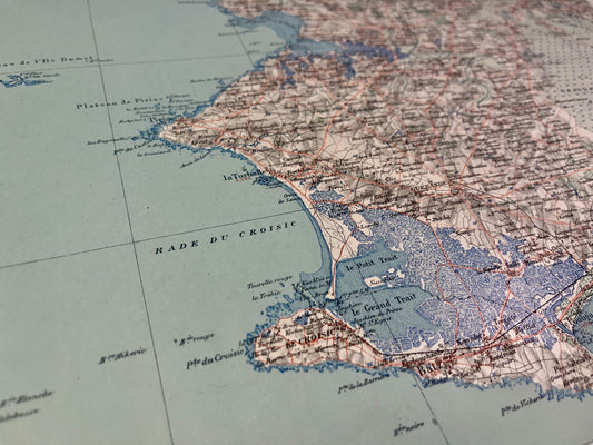
Pornic Vicinal Service Map
Regular price 64,00 €Regular priceUnit price per -

 Sold out
Map of the Challans Vicinal Service
Regular price 64,00 €Regular priceUnit price per -
Map of the Vicinal Service of Saint-Gilles-Croix-de-Vie
Regular price 64,00 €Regular priceUnit price per -
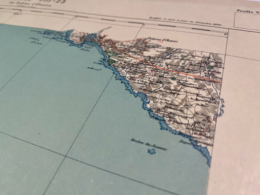
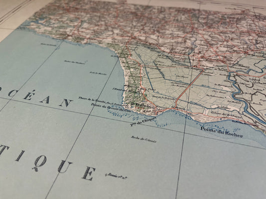
Map of the Vicinal Service of Sables d'Olonne
Regular price 64,00 €Regular priceUnit price per -
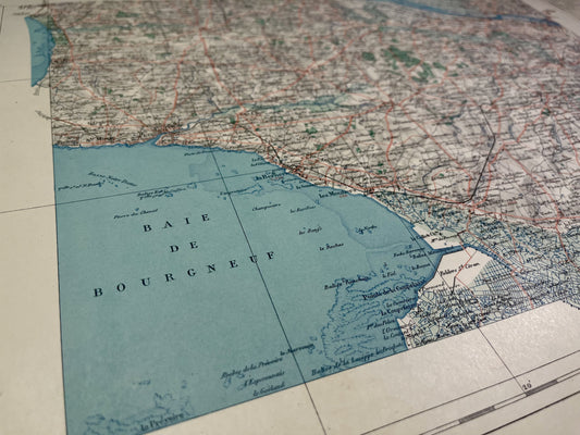
Map of the Vicinal Service of Luçon
Regular price 64,00 €Regular priceUnit price per -
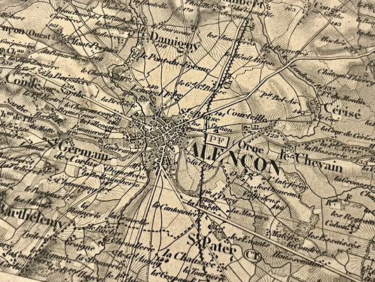
Carte ancienne d'Alençon et ses environs par le Dépôt de la Guerre - 1845
Regular price 65,00 €Regular priceUnit price per -
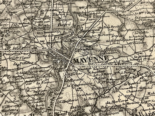
Carte ancienne de Mayenne et ses environs par le Dépôt de la Guerre - 1851
Regular price 65,00 €Regular priceUnit price per