


Antique map of la Roche-sur-Yon and its surroundings by the Dépôt de la Guerre - 1849
Antique map of la Roche-sur-Yon and its surroundings by the Dépôt de la Guerre - 1849
Couldn't load pickup availability
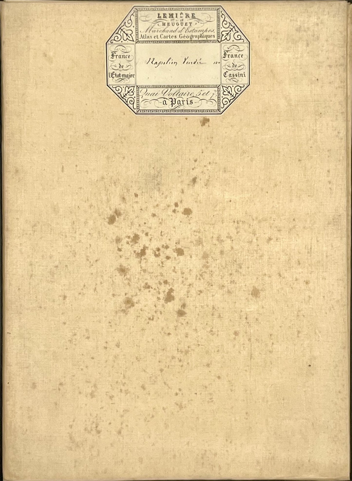
This antique French General Staff map of Vendée titled "Napoléon-Vendée" (No. 130) was produced by the Dépôt de la Guerre and published in 1849. It is linen-backed and measures 85x57.5cm.
Condition:
Linen worn, small holes in places, stains. Please note, my maps are old and are not always in perfect condition!
Main places represented:
Saint-Sulpice-le-Verdon, l’Herbergement, la Copechagnière, les Brouzils, Saligny, Belleville, la Merlatière, la Rabatelière, Chavagne, Dompierre, la Ferrière, la Roche-sur-Yon, la Chaize-le-Vicomte, Nesmy, Chaillé-les-Ormeaux, le Fablier, la Limouzinière, Saint-Florent-des-Bois, les Essarts, Saint-Fulgent, Vendrennes, Mouchamps, Sainte-Florence, Bazoges, Beaurepaire, Saint-Martin-des-Noyers, Saint-Hilaire-le-Vouhis, Bournezeau, Saint-Ouen-des-Gâts, Puymaufrais, la Réorthe, la Vineuse, Puybelliard, Chantonnay, Saint-Martin-l’Ars, la Caillère, Saint-Hilaire-du-Bois, Mouilleron-en-Pareds, Saint-Sulpice-en-Pareds, Cezais, le Talmud-Sainte-Gemme, Sigournais, Monsireigne, Réaumin, la Meilleraye, le Boupère, Rochetrejoux, Saint-Prouant, Ardelay, les Herbiers, Pouzauge, la Flocellière, les Epesses, Chambretaud, Mallièvre, Treize-Vents, le Châtelier, Saint-Maurice-des-Noues, Antigny, la Loge-Fougereuse, la Chataigneraie, Breuil-Barret, la Ronde, Saint-Marsault, Saint-Pierre-du-Chemin, Menomblet, Montournais, la Forêt-sur-Sèvre, Mesmin, Montigny, Montravers, la Pommeraye, Cerizay, Combrand, Châtillon-sur-Sèvre, Brétignolle, Cirière, Rorthais


-

Secure payment
-

Careful shipping
-

No reproduction
-

Satisfied or refunded


-

“Hello, thank you for sending this, the cards are superb!”
Jean-Philippe
-
"They are very beautiful, just need to frame them! Thank you"
Baptiste
-
"Fast shipping and very good tracking."
Alice
-
"My husband loved the maps I gave him for Christmas!"
Solène
