


Antique map of Beaugency and its surroundings by the Dépôt de la Guerre - 1844
Antique map of Beaugency and its surroundings by the Dépôt de la Guerre - 1844
Couldn't load pickup availability
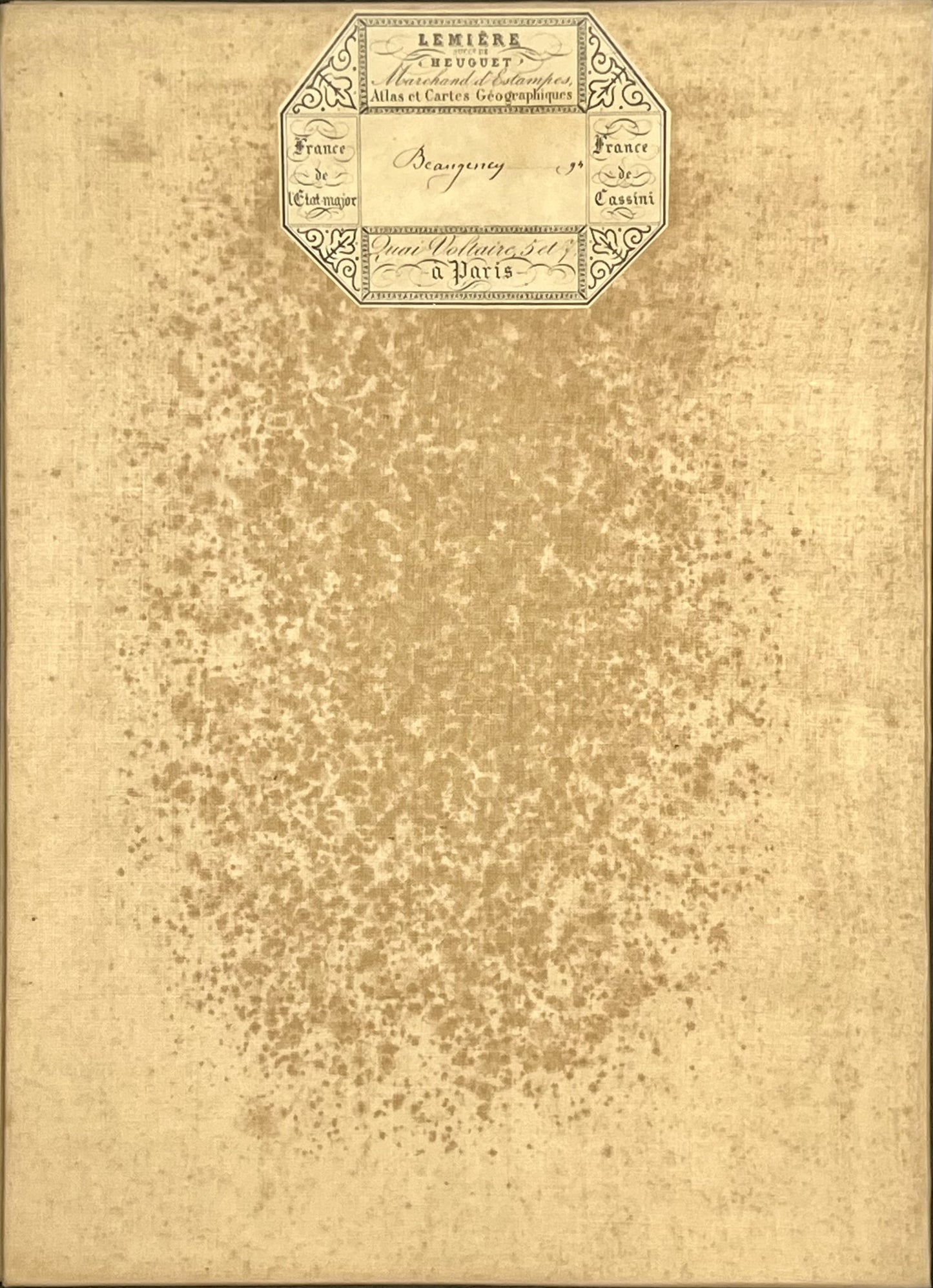
This antique French General Staff map of Loiret and Loir-et-Cher titled "Beaugency" (No. 94) was produced by the Dépôt de la Guerre and published in 1844. It is linen-backed and measures 85x57.5cm.
Condition:
Linen worn, small holes in places, stains. Please note, my maps are old and are not always in perfect condition!
Main places represented:
Avaray, Autainville, Baccon, Baule, Beaugency, Binas, Boisseaux, Boulay-les-Barres, Bouray-sur-Juine, Brainville, Brevainville, Briou, Bucy-le-Roi, Bucy-Saint-Liphard, Baigneaux, Cercottes, Chaingy, Chantecoq, Charsonville, Chaussy, Chevilly, Cléry-Saint-André, Coinces, Coulmiers, Cour-sur-Loire, Courbouzon, Cravant, Creuzy, Danzé, Dry, Droué, Écoman, Épieds-en-Beauce, Faye, Fontaines-en-Sologne, Gidy, Gomberjean, Huisseau-sur-Mauves, Ingré, Janville-en-Beauce, Josnes, Jouy-le-Potier, La Chapelle-Onzerain, La Chapelle-Saint-Mesmin, La Colombe, La Ferté-Saint-Aubin, Lailly-en-Val, Lancé, Le Bardon, Le Mée, Le Plessis-l'Échelle, Lestiou, Lignières, Lisle, Lorges, Mareau-aux-Prés, Marchenoir, Messas, Meung-sur-Loire, Mézières-lez-Cléry, Morée, ruan, Nourray, Ormes, Orléans (quartiers ouest), Oucques, Ouzouer-le-Marché, Ouzouer-le-Doyen, Patay, Péronville, Pezou, Prénouvellon, Roches, Rouvray-Sainte-Croix, Saint-Ay, Saint-Denis-en-Val, Saint-Hilaire-Saint-Mesmin, Saint-Jean-de-la-Ruelle, Saint-Laurent-des-Bois, Saint-Léonard-en-Beauce, Saint-Péravy-la-Colombe, Saint-Pryvé-Saint-Mesmin, Saint-Sigismond, Sainte-Gemme, Saran, Selommes, Seris, Sougy, Suèvres, Talcy, Thoré-la-Rochette, Tournoisis, Trinay, Tripleville, Verdes, Vievy-le-Rayé, Villamblain, Villeneuve-Frouville, Villemardy, Villermain, Villetrun, Villexanton, Vinielles


-

Secure payment
-

Careful shipping
-

No reproduction
-

Satisfied or refunded


-

“Hello, thank you for sending this, the cards are superb!”
Jean-Philippe
-
"They are very beautiful, just need to frame them! Thank you"
Baptiste
-
"Fast shipping and very good tracking."
Alice
-
"My husband loved the maps I gave him for Christmas!"
Solène
