


Antique map of Bressuire and its surroundings by the Dépôt de la Guerre - 1848
Antique map of Bressuire and its surroundings by the Dépôt de la Guerre - 1848
Couldn't load pickup availability
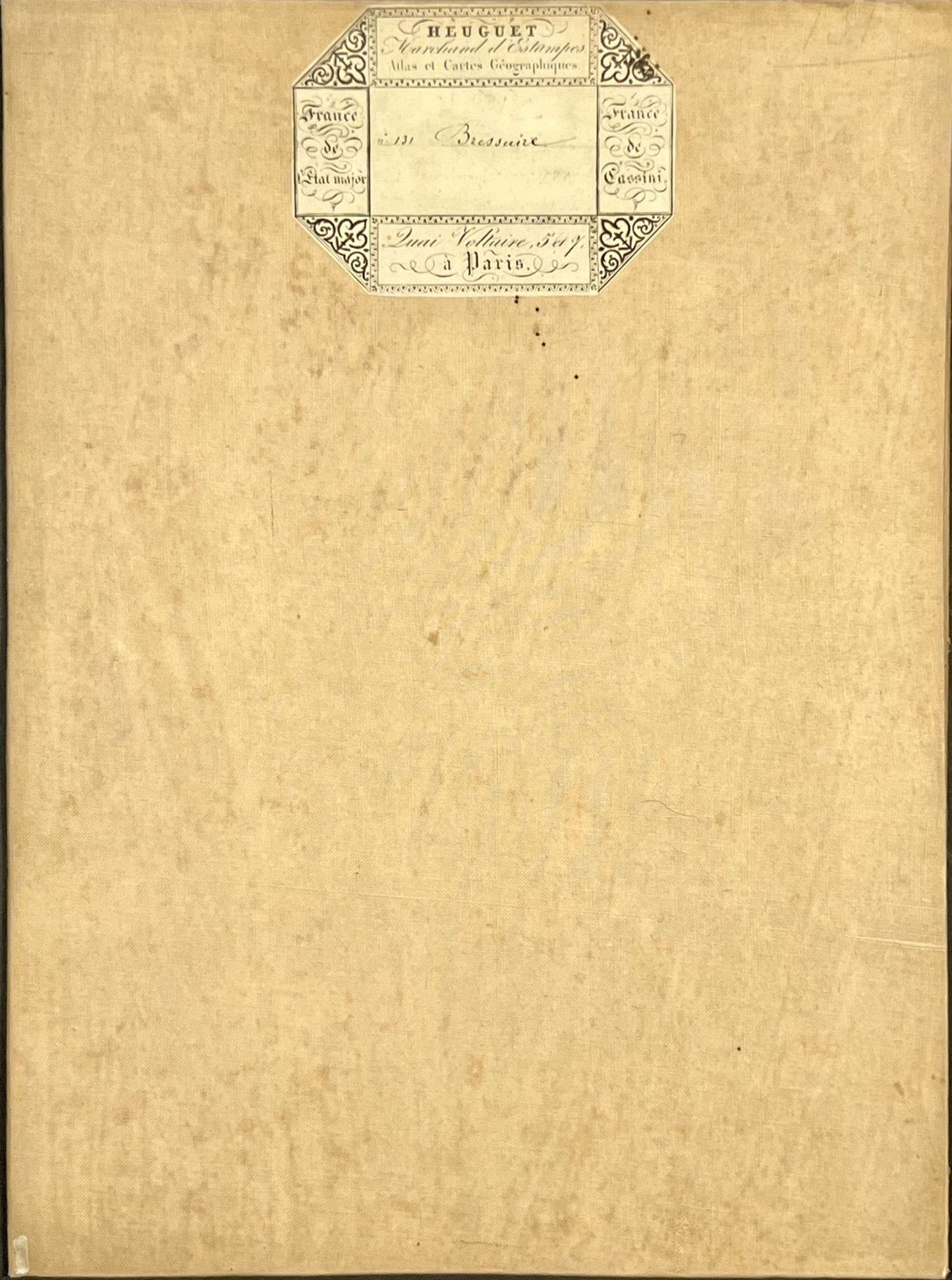
This antique French General Staff map of Deux-Sèvres titled "Bressuire" (No. 131) was produced by the Dépôt de la Guerre and published in 1848. It is linen-backed and measures 85x57.5cm.
Condition:
Linen worn, small holes in places, stains. Please note, my maps are old and are not always in perfect condition!
Main places represented:
Maisontiers, Tessonnière, Boussais, Chiché, Glénay, Pierrefitte, Luzay, Saint-Varent, Gemme, Luche, Boismé, Noirterre, Coulonges-Thouarsais, Saint-Porchaire, Bressuire, Chambrontel, la Chapelle-Gaudin, Saint-Aubin-du-Plain, Terves, Clazay, Courlay, Chanteloup, Beaulieu-sous-Bressuire, Breuil-Chaussée, Saint-Clémentin, Voultegon, Mirebeau, Chouppes, Billy, Verrue, La Chapelle-Bellouin, le Bouchet, Angliers, Martaize, Aulnay, la Chaussée, St-Clair, St-Cassien, Ouzilly-Vignolles, Brie, Moncontour, St-Jouin-des-Marnes, Irais, Noizé, Bilazais, Oiron, Taizé, St-Généroux, Maulais, Louin, St-Loup-sur-Thouet, les Jumeaux, Borcq-sur-Airvault, Assais, Airvault, Soulièvres, Availles, Douron, Marnes, Massais, St-Chartres, la Grimaudière, Notre-Dame-d’Or, Mazeuil, Frontenay, St-Jean-de-Sauves, la Chapelle-Bertrand, Pompaire, Parthenay, le Tallud, Châtillon-sur-Thouet, Viennay, Lageon, Adilly, Azay, Secondigny, Fenery, Pougne-Hérisson, Neuvy-Bouin, Clessé, Amailloux, la Chapelle-Sainte-Laure, Traye, Largeasse, Vernoux, l’Absie, la Chapelle-Saint-Etienne, Pugny, Moncoutant, Breuil-Bernard, Quinçay, Vouillé, Cissé, Chiré-en-Montreuil, Latillé, Ayron, Maillé, Frozes, Villiers, Yversay, Charrais, le Rochereau, Champigny-le-Sec, Vouzailles, Maisonneuve, Massognes, Cuhon, Amberre, Varennes, Craon, Doux, Cherves, Thénezay, Oroux, Pressigny, Aubigny, Lamaire, le Chillon, Gourgé, Lhoumois, la Peyratte, Chalandray, la Ferrière-en-Parthenay, Saurais


-

Secure payment
-

Careful shipping
-

No reproduction
-

Satisfied or refunded


-

“Hello, thank you for sending this, the cards are superb!”
Jean-Philippe
-
"They are very beautiful, just need to frame them! Thank you"
Baptiste
-
"Fast shipping and very good tracking."
Alice
-
"My husband loved the maps I gave him for Christmas!"
Solène
