


Antique map of Brittany by J-B. Ogée - North-West Quarter - 1771
Antique map of Brittany by J-B. Ogée - North-West Quarter - 1771
Couldn't load pickup availability
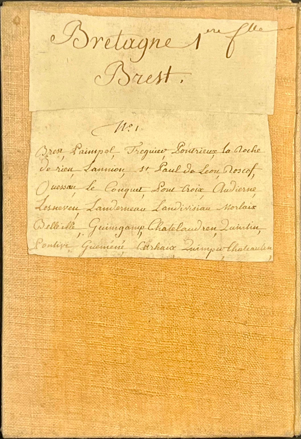
This antique map of Brittany constitutes the upper left quadrant of the famous Geometric Carte Géométrique de la Province de Bretagne, made by Jean-Baptiste Ogée, Geographer and Engineer of Bridges and Roads. Engraved by Nion in 1771, it is linen-backed and its unfolded dimensions are 79.5x57.5cm. Magnificent period colors.
Condition:
Very good condition. Please note my maps are old and are not always in perfect condition!
Main places represented:
Brest, Douarnenez, Rade de Sein, Ouessant, Crozon, Quimper, Landerneau, Saint-Pol-de-Léon, Île de Batz, Morlaix, Carhaix, Tréguier, Paimpol, Pontivy,...


-

Secure payment
-

Careful shipping
-

No reproduction
-

Satisfied or refunded


-

“Hello, thank you for sending this, the cards are superb!”
Jean-Philippe
-
"They are very beautiful, just need to frame them! Thank you"
Baptiste
-
"Fast shipping and very good tracking."
Alice
-
"My husband loved the maps I gave him for Christmas!"
Solène
