


Antique map of Dinan and its surroundings by the Dépôt de la Guerre - 1859
Antique map of Dinan and its surroundings by the Dépôt de la Guerre - 1859
Couldn't load pickup availability
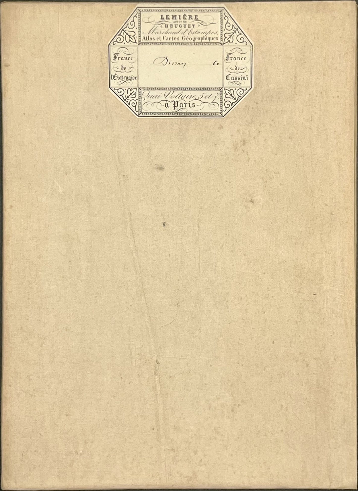
This antique French General Staff map of Côtes d'Armor and Ille-et-Vilaine titled "Dinan" (No. 60) was produced by the Dépôt de la Guerre and published in 1859. It is linen-backed and measures 85x57.5cm.
Condition:
Linen worn, small holes in places, stains. Please note, my maps are old and are not always in perfect condition!
Main places represented:
Baguer-Morvan, Baguer-Pican, Bazouges-la-Pérouse, Bonnemain, Bourseul, Calorguen, Cancale, Cherrueix, Combourg, Corseul, Créhen, Dinan, Dol-de-Bretagne, Epiniac, Evran, Hirel, Jugon-les-Lacs-Commune-Nouvelle, La Baussaine, La Boussac, La Vicomté-sur-Rance, Landébia, Languenan, Lanrigan, Lanvallay, Le Hinglé, Le Quiou, Le Vivier-sur-Mer, Les Champs-Géraux, Lillemer, Lourmais, Marcillé-Raoul, Meillac, Miniac-Morvan, Mont-Dol, Noyal-sous-Bazouges, Plancoët, Pléboulle, Plédéliac, Plélan-le-Petit, Plénée-Jugon, Pleslin-Trigavou, Pleudihen-sur-Rance, Pleugueneuc, Pleine-Fougères, Pléven, Plévenon, Plouër-sur-Rance, Pluduno, Plurien, Rimou, Roz-Landrieux, Roz-sur-Couesnon, Sains, Saint-Benoît-des-Ondes, Saint-Broladre, Saint-Carné, Saint-Cast-le-Guildo, Saint-Coulomb, Saint-Denoual, Saint-Georges-de-Gréhaigne, Saint-Hélen, Saint-Jacut-de-la-Mer, Saint-Jouan-des-Guérets, Saint-Juvat, Saint-Léger-des-Prés, Saint-Lormel, Saint-Lunaire, Saint-Maden, Saint-Malo, Saint-Marcan, Saint-Maudez, Saint-Meloir-des-Ondes, Saint-Méloir-des-Bois, Saint-Michel-de-Plelan, Saint-Potan, Saint-Rieul, Saint-Rémy-du-Plain, Saint-Samson-sur-Rance, Saint-Suliac, Sougéal, Taden, Tramain, Trans-la-Forêt, Trémeheuc, Trélivan, Trévron, Vieux-Viel


-

Secure payment
-

Careful shipping
-

No reproduction
-

Satisfied or refunded


-

“Hello, thank you for sending this, the cards are superb!”
Jean-Philippe
-
"They are very beautiful, just need to frame them! Thank you"
Baptiste
-
"Fast shipping and very good tracking."
Alice
-
"My husband loved the maps I gave him for Christmas!"
Solène
