


Antique map of Ferrette and its surroundings by the Dépôt de la Guerre - 1835
Antique map of Ferrette and its surroundings by the Dépôt de la Guerre - 1835
Couldn't load pickup availability
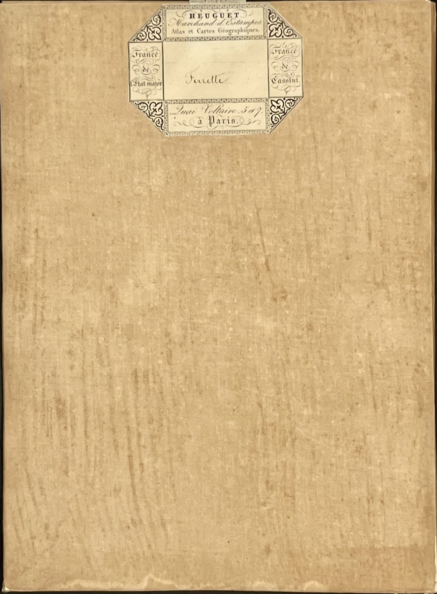
This antique French General Staff map of Haut-Rhin titled "Ferrette" (No. 115) was produced by the Dépôt de la Guerre and published in 1835. It is linen-backed and measures 85x57.5cm.
Condition:
Linen worn, small holes in places, stains. Please note, my maps are old and are not always in perfect condition!
Main places represented:
Buschwiller, Attenschwiller, Ranspach-le-Bas, Michelbach-le-Haut, Hagenthal-le-Bas, Neuwiller, Liebenswiller, Leymen, Kiftis, Welschwiller, Lutter, Oltingen, Linsdorff, Fislis, Bettlach, Wernetshausen, Ober Muespach, Mittels Muespach, Knoeringen, Ranspach-le-Haut, Ligsdorf, Roedersdorff, Sondersdorff, Ferrette, Bouxwiller, Wald, Bendorff, Vieux Ferrette, Durmenach, Roppentzwiller, Riespach, Nieder Muespach, Steinsoultz, Oberdorff, Waldinghoffen, Grötzingen, Berentzwiller, Willer, Bettendorff, Henflingen, Oberlarg, Levoncourt, Courtavon, Winckel, Liebsdorff, Dirlinsdorff, Mornach, Koestlach, Moos, Niederlage, Feldbach, Bisel, Seppois-le-Haut, Ruederbach, Hennersdorff, Hirsingue, Hirtzbach, Pfetterhausen, Réchesy, Seppois-le-Bas, Hindlingen, Largitzen, Friesen, Fulleren, Mertzen, Strueth, Saint-Ulrich, Courcelles, Florimont, Courtelevant, Faverois, Lepuix, Suarce, Chavanatte, Chavannes-les-Grands, Magny


-

Secure payment
-

Careful shipping
-

No reproduction
-

Satisfied or refunded


-

“Hello, thank you for sending this, the cards are superb!”
Jean-Philippe
-
"They are very beautiful, just need to frame them! Thank you"
Baptiste
-
"Fast shipping and very good tracking."
Alice
-
"My husband loved the maps I gave him for Christmas!"
Solène
