


Antique map of the Retz National Forest by A. Fillon - 1863
Antique map of the Retz National Forest by A. Fillon - 1863
Couldn't load pickup availability
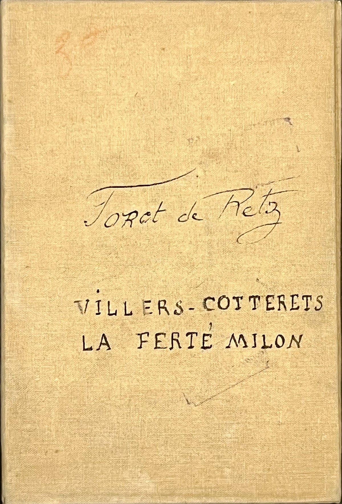
This antique map, spanning the Oise and Aisne departments and entitled "Nouveau Plan de la Forêt Domaniale de Retz," was drawn in 1863 by Arthur Fillon, a sedentary brigadier at the Villers-Cotterêts inspection office. This 1900 edition is colored, linen-backed, and measures 70.5x52cm when unfolded.
Condition:
Minimal stains. Please note, my maps are antique and are not always in perfect condition!
Main locations depicted:
Bargny, Ormoy, Gondreville, Russy, le Berval, Autheuil-en-Valois, Yvors, Boursonne, Covolles, Vauciennes, Vez, Largny, Taillefontaine, Haramont, Villers-Cotterêts, Vivières, Puiseux, Longpont, Faverolles, la Ferté-Millon, Dampleux, Oigny,...


-

Secure payment
-

Careful shipping
-

No reproduction
-

Satisfied or refunded


-

“Hello, thank you for sending this, the cards are superb!”
Jean-Philippe
-
"They are very beautiful, just need to frame them! Thank you"
Baptiste
-
"Fast shipping and very good tracking."
Alice
-
"My husband loved the maps I gave him for Christmas!"
Solène
