


Antique map of Lille, Tournai, Mons and their surroundings by J. de Ferraris - 1777
Antique map of Lille, Tournai, Mons and their surroundings by J. de Ferraris - 1777
Couldn't load pickup availability
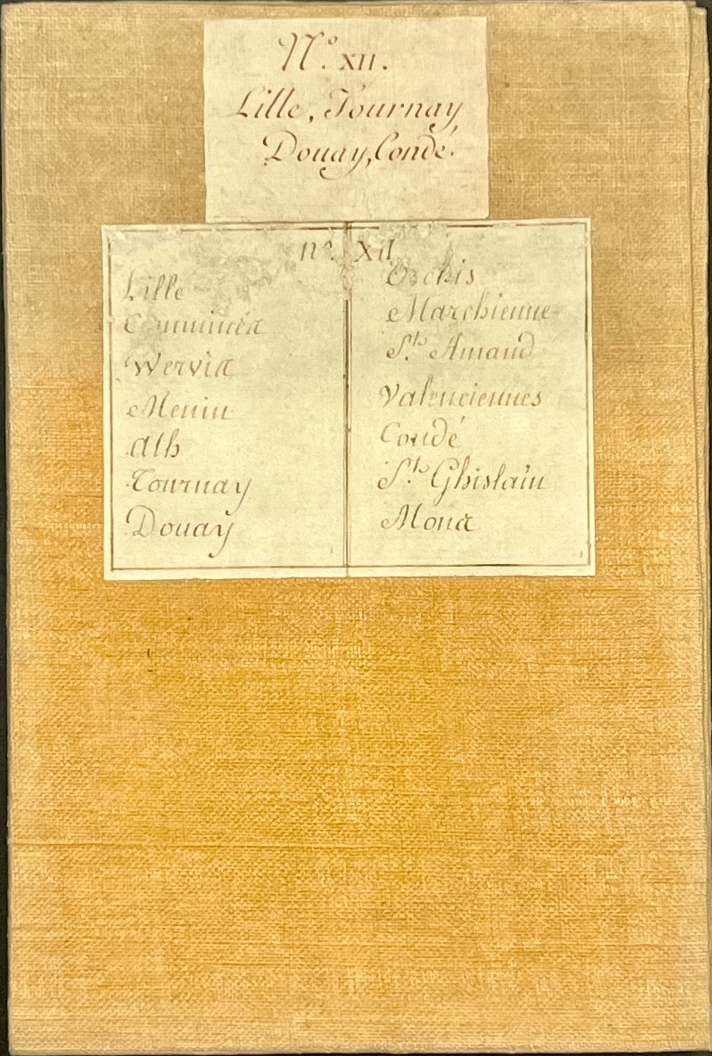
This antique map of Belgium and part of the Nord department is sheet N°XII of the famous "Chorographic Map of the Austrian Netherlands" made at the end of the 18th century by Count Joseph de Ferraris. Its period colors are magnificent and its unfolded size is 92.5x59cm (21 sections).
Equivalent to the Cassini map in France, its scale is the same, 1/86,400. A more precise version of the Ferraris map exists, but copies are extremely rare.
Condition:
Very good condition. Please note, my maps are old and are not always in perfect condition!
Locations shown:
Lille, Douai, Carvin, Seclin, Hénin-Beaumont, Orchies, Roubaix, Tourcoing, Menen, Tournai, Saint-Amand-les-Eaux, Cond'-sur-l'Escaut, Quiévrain, Mons, Lens, Ath, Leuze-en-Hainaut, Ath, Chièvres, Geraardsbergen,...


-

Secure payment
-

Careful shipping
-

No reproduction
-

Satisfied or refunded


-

“Hello, thank you for sending this, the cards are superb!”
Jean-Philippe
-
"They are very beautiful, just need to frame them! Thank you"
Baptiste
-
"Fast shipping and very good tracking."
Alice
-
"My husband loved the maps I gave him for Christmas!"
Solène
