


Antique map of Niort and its surroundings by the Dépôt de la Guerre - 1849
Antique map of Niort and its surroundings by the Dépôt de la Guerre - 1849
Couldn't load pickup availability
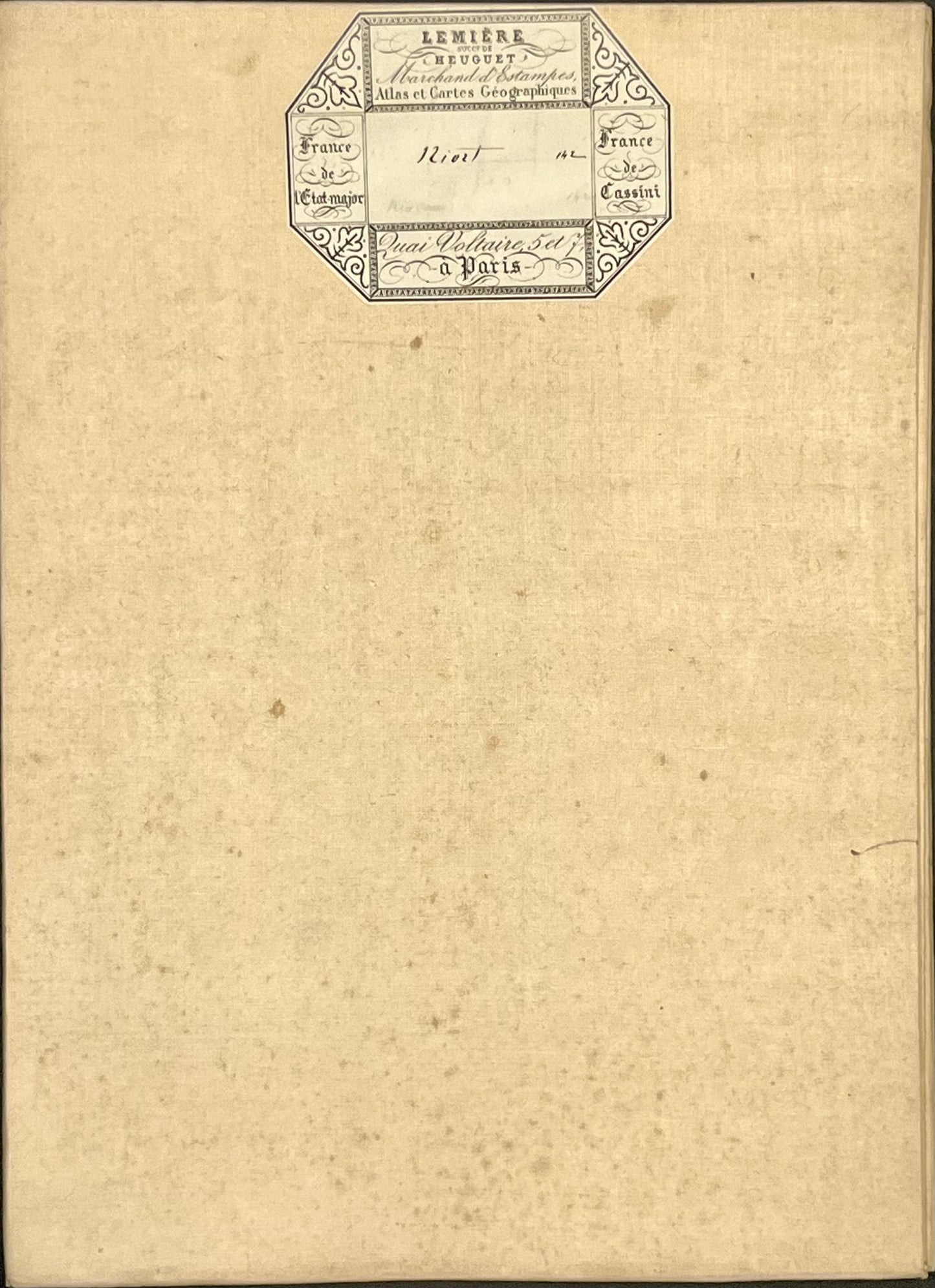
This antique French General Staff map of Deux-Sèvres titled "Niort" (No. 142) was produced by the Dépôt de la Guerre and published in 1849. It is linen-backed and measures 85x57.5cm.
Condition:
Linen worn, small holes in places, stains. Please note, my maps are old and are not always in perfect condition!
Main places represented:
Aiffres, Amuré, Anché, Ardin, Augé, Azay-le-Brûlé, Béceleuf, Béruges, Bessines, Bougon, Brûlain, Ceaux-en-Couhé, Celle-Lévescault, Celles-sur-Belle, Champdeniers, Chauray, Châtillon-en-Couhé, Chenay, Cherveux, Chey, Clavé, Couhé, Coulombiers, Curzay-sur-Vonne, Échiré, Épannes, Exireuil, Fenioux, Fontaine-le-Comte, Fors, Frontenay-Rohan-Rohan, Granzay-Gript, Jazeneuil, Juscorps, La Chapelle-Montreuil, La Chapelle-Thireuil, La Mothe-Saint-Héray, Latillé, Lezay, Lusignan, Magné, Mairé-Levescault, Marigny, Marigny-Chemereau, Niort, Payré, Prahecq, Puihardy, Rom, Rouillé, Sainte-Blandine, Sainte-Eanne, Saint-Coutant, Saint-Gelais, Saint-George-de-Noisné, Saint-Léger-de-la-Martinière, Saint-Maixent-l'École, Saint-Martin-de-Bernegoue, Saint-Maxire, Saint-Pompain, Saint-Rémy, Saint-Romans-des-Champs, Saint-Romans-lès-Melle, Saint-Sauvant, Saint-Symphorien, Saivres, Sansais, Sanxay, Sciecq, Sepvret, Sompt, Souvigné, Surimeau, Vancais, Vanzay, Vaux, Vouillé, Xaintray


-

Secure payment
-

Careful shipping
-

No reproduction
-

Satisfied or refunded


-

“Hello, thank you for sending this, the cards are superb!”
Jean-Philippe
-
"They are very beautiful, just need to frame them! Thank you"
Baptiste
-
"Fast shipping and very good tracking."
Alice
-
"My husband loved the maps I gave him for Christmas!"
Solène
