


Antique map of Quiberon and its surroundings by the Dépôt de la Guerre - 1850
Antique map of Quiberon and its surroundings by the Dépôt de la Guerre - 1850
Couldn't load pickup availability
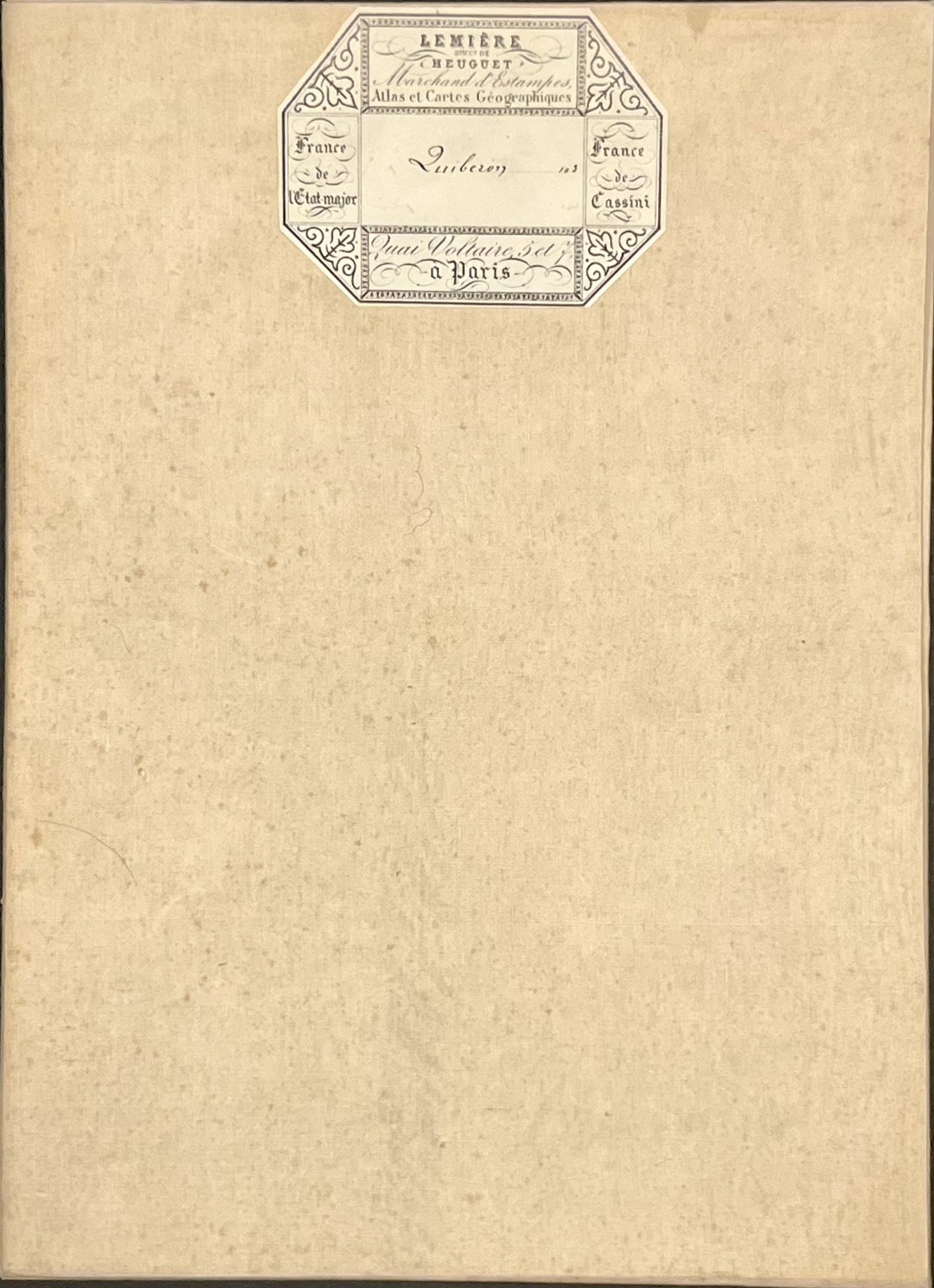
This antique French General Staff map of Morbihan and Loire-Atlantique titled "Quiberon" (No. 103) was produced by the Dépôt de la Guerre and published in 1850. It is linen-backed and measures 85x57.5cm.
Condition:
Linen worn, small holes in places, stains. Please note, my maps are old and are not always in perfect condition!
Main places represented:
Belle-Île-en-Mer, Le Palais, Locmaria, Quiberon, Île Hoedic, Île d’Houat, Locmariaquer, Arzon, Saint-Gildas-de-Rhuys, Sarzeau, le Hézo, Surzur, Damgan, Rade de Penerf, Noyal-Muzillac, Billiers, Muzillac, Arzal, Pénestin, Camoël, Feret, Asserac, Piriac, Mesquer, Saint-Molf, Guérande, le Croisic, Batz-sur-Mer, La-Baule-Escoublac, le Pouliguen


-

Secure payment
-

Careful shipping
-

No reproduction
-

Satisfied or refunded


-

“Hello, thank you for sending this, the cards are superb!”
Jean-Philippe
-
"They are very beautiful, just need to frame them! Thank you"
Baptiste
-
"Fast shipping and very good tracking."
Alice
-
"My husband loved the maps I gave him for Christmas!"
Solène
