


Antique map of Saint-Brieuc and its surroundings by the Dépôt de la Guerre - 1853
Antique map of Saint-Brieuc and its surroundings by the Dépôt de la Guerre - 1853
Couldn't load pickup availability
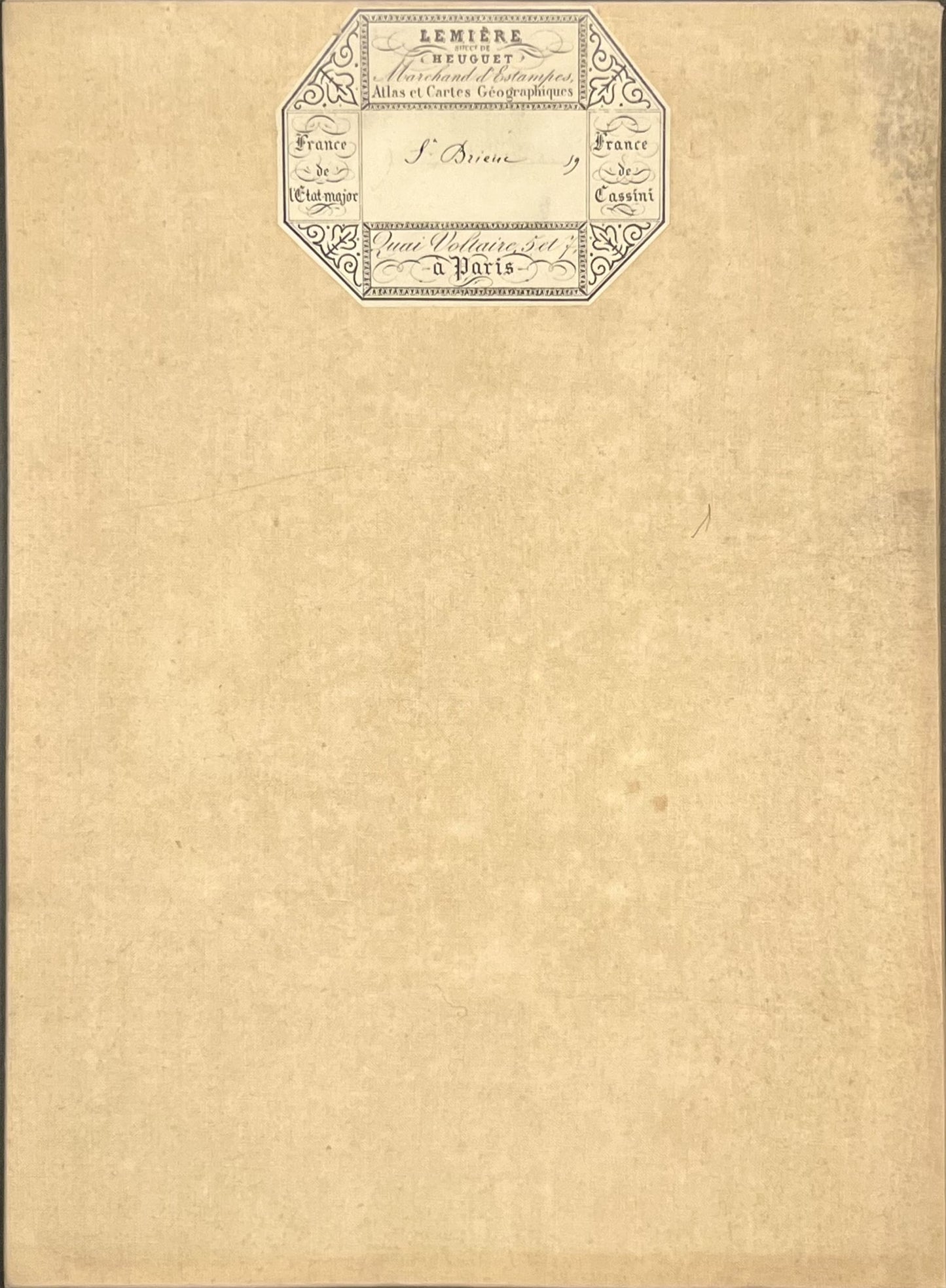
This antique French General Staff map of Côtes d'Armor titled "Saint-Brieuc" (No. 59) was produced by the Dépôt de la Guerre and published in 1853. It is linen-backed and measures 85x57.5cm.
Condition:
Linen worn, small holes in places, stains. Please note, my maps are old and are not always in perfect condition!
Main places represented:
Andel, Binic-Étables-sur-Mer, Boqueho, Bourbriac, Bréhand, Bégard, Canihuel, Châtelaudren-Plouagat, Coadmout, Coëtmieux, Cohiniac, Corlay, Gausson, Gommenec'h, Goudelin, Grâces, Guingamp, Hillion, Hénon, Kerien, Kerpert, Lamballe-Armor, Landéhen, Lanfains, Langueux, Lanrivain, Lanvollon, Le Bodéo, Le Fœil, Le Gouray, Le Leslay, Le Merzer, Le Vieux-Bourg, Lantic, Louargat, Magoar, Moncontour, Morieux, Noyal, Pabu, Penguily, Plaintel, Plédran, Pléguien, Plélo, Plémy, Plénée-Jugon, Pléneuf-Val-André, Plérin, Plésidy, Plestan, Plœuc-L'Hermitage, Ploufragan, Plouha, Plouisy, Ploumagoar, Plouvara, Pludual, Plussulien, Pommeret, Pommerit-le-Vicomte, Pordic, Pédernec, Quessoy, Quintin, Runan, Saint-Agathon, Saint-Alban, Saint-Bihy, Saint-Brandan, Saint-Brieuc, Saint-Carreuc, Saint-Clet, Saint-Connan, Saint-Donan, Saint-Fiacre, Saint-Gildas, Saint-Gilles-Pligeaux, Saint-Glen, Saint-Jean-Kerdaniel, Saint-Laurent, Saint-Martin-des-Prés, Saint-Mayeux, Saint-Nicolas-du-Pélem, Saint-Péver, Saint-Quay-Portrieux, Saint-Rieul, Saint-Trimoël, Sainte-Tréphine, Senven-Léhart, Squiffiec, Tramain, Trédaniel, Tréglamus, Trégomeur, Trégonneau, Trégueux, Tréguidel, Tréméven, Tréveneuc, Uzel, Yffiniac


-

Secure payment
-

Careful shipping
-

No reproduction
-

Satisfied or refunded


-

“Hello, thank you for sending this, the cards are superb!”
Jean-Philippe
-
"They are very beautiful, just need to frame them! Thank you"
Baptiste
-
"Fast shipping and very good tracking."
Alice
-
"My husband loved the maps I gave him for Christmas!"
Solène
