


Antique map of Ussel and its surroundings by the Dépôt de la Guerre - 1862
Antique map of Ussel and its surroundings by the Dépôt de la Guerre - 1862
Couldn't load pickup availability
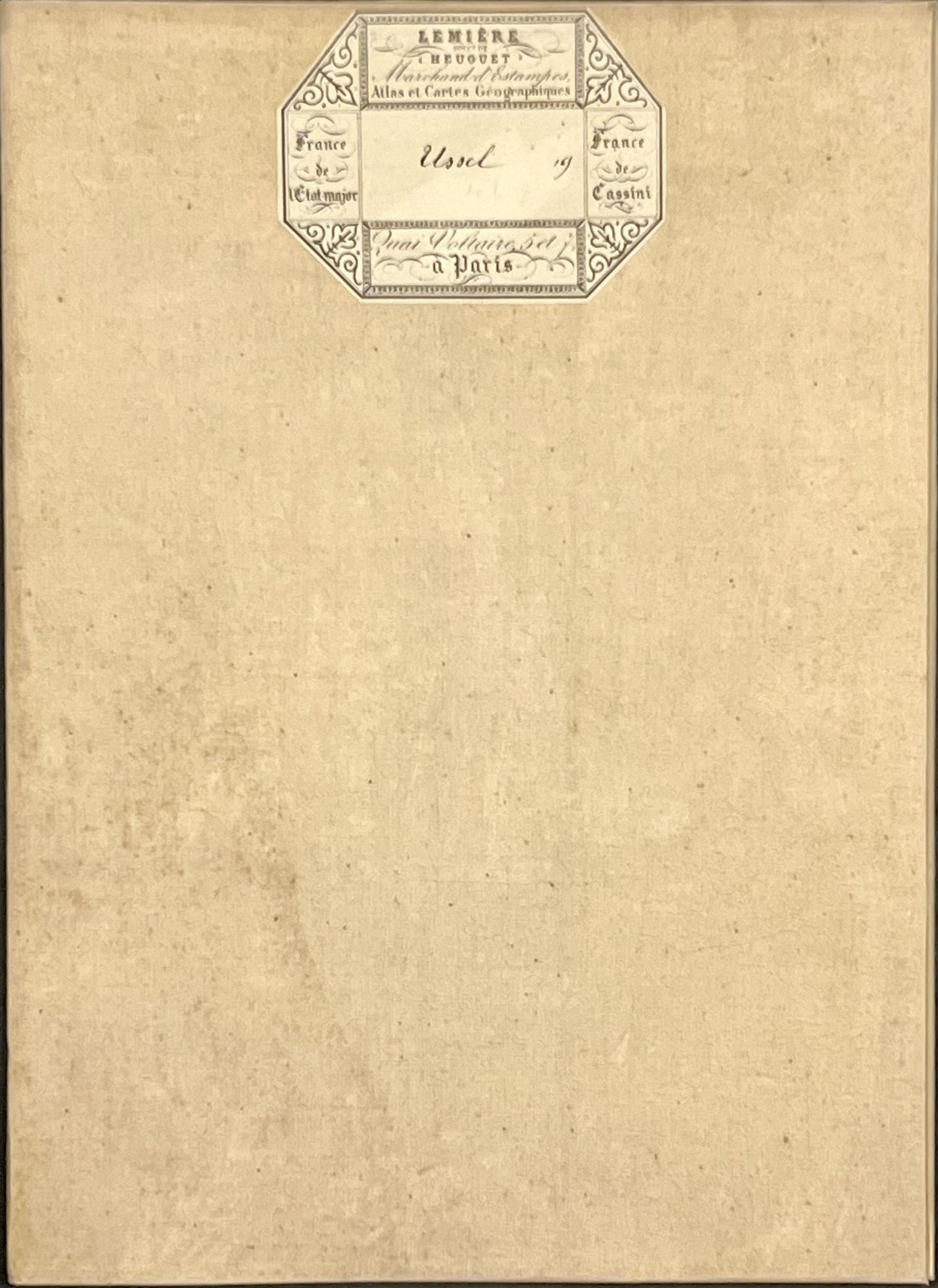
This antique French General Staff map of Corrèze, Puy de Dôme and Creuse titled "Ussel" (No. 165) was produced by the Dépôt de la Guerre and published in 1862. It is linen-backed and measures 85x57.5cm.
Condition:
Linen worn, small holes in places, stains. Please note, my maps are old and are not always in perfect condition!
Main places represented:
la Nouaille, Pigerolles, Gentioux, Peyrelevade, Saint-Merd-les-Oussines, Pérols, Bugeat, Tarnac, Millevache, Chavanac, Saint-Sulpice-les-Bois, Saint-Pardoux, Ussel, Alleyrat, Chaveroche, Bellechassagne, Saint-Sestiers, la Courtine, le Trucq, Clairavaux, Saint-Oradoux-de-Chirouze, Felletin, Magnat, Saint-Dézéry, Saint-Etienne-aux-Clos, Savennes, Singles, la Mazière-Haute, Feyt, Saint-Merd-la-Breuille, Fernoel, Crocq, Saint-Avit, Verneugheol, Combraille, Prondines, Tortebesse, Pontaumur, Cisternes, Briffons, Bourg-Lastic, Saint-Sauves, Avèze, Laqueuille, Tauves


-

Secure payment
-

Careful shipping
-

No reproduction
-

Satisfied or refunded


-

“Hello, thank you for sending this, the cards are superb!”
Jean-Philippe
-
"They are very beautiful, just need to frame them! Thank you"
Baptiste
-
"Fast shipping and very good tracking."
Alice
-
"My husband loved the maps I gave him for Christmas!"
Solène
