


Carte ancienne de la Bavière par J.B. Homann - ca. 1700
Carte ancienne de la Bavière par J.B. Homann - ca. 1700
Couldn't load pickup availability
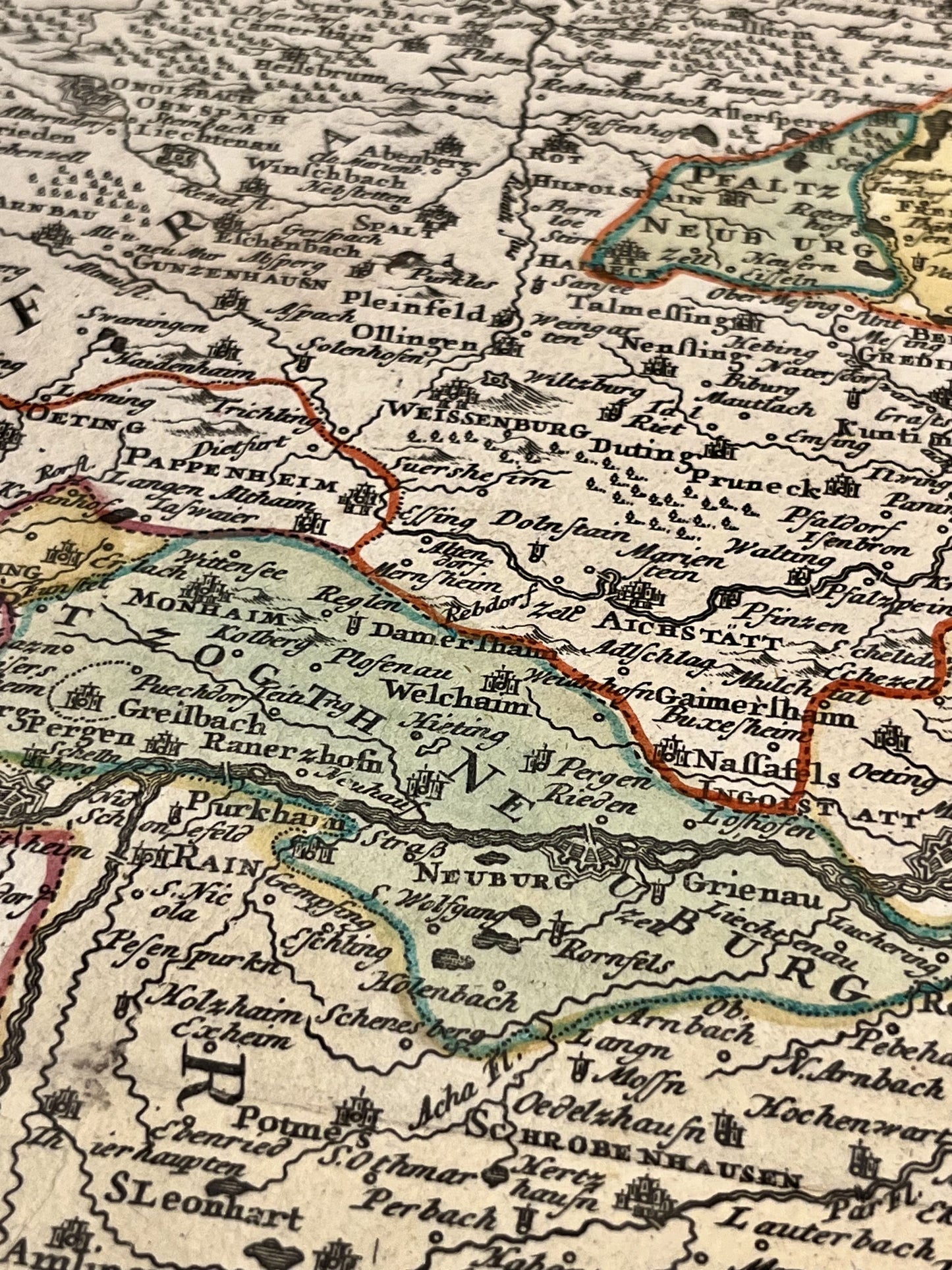
Cette carte ancienne de l'Allemagne représentant la Bavière a été réalisée par le cartographe allemand Johann Baptist Homann au début du XVIIIe siècle. La dimension de cette carte est de 62x53,5cm.
État :
Bon état, taches, pli central. Attention, mes cartes sont anciennes et ne sont pas toujours en parfait état !
Lieux représentés :
Munich, Landshut, Straubing, Deggendorf, Passau, Braunau am Inn, Mühldorf am Inn, Salzbourg, Augsbourg, Ingolstadt, Nuremberg, Amberg,...


-

Secure payment
-

Careful shipping
-

No reproduction
-

Satisfied or refunded


-

“Hello, thank you for sending this, the cards are superb!”
Jean-Philippe
-
"They are very beautiful, just need to frame them! Thank you"
Baptiste
-
"Fast shipping and very good tracking."
Alice
-
"My husband loved the maps I gave him for Christmas!"
Solène
