


Cassini map of Dunkirk, Calais and their surroundings
Cassini map of Dunkirk, Calais and their surroundings
Couldn't load pickup availability
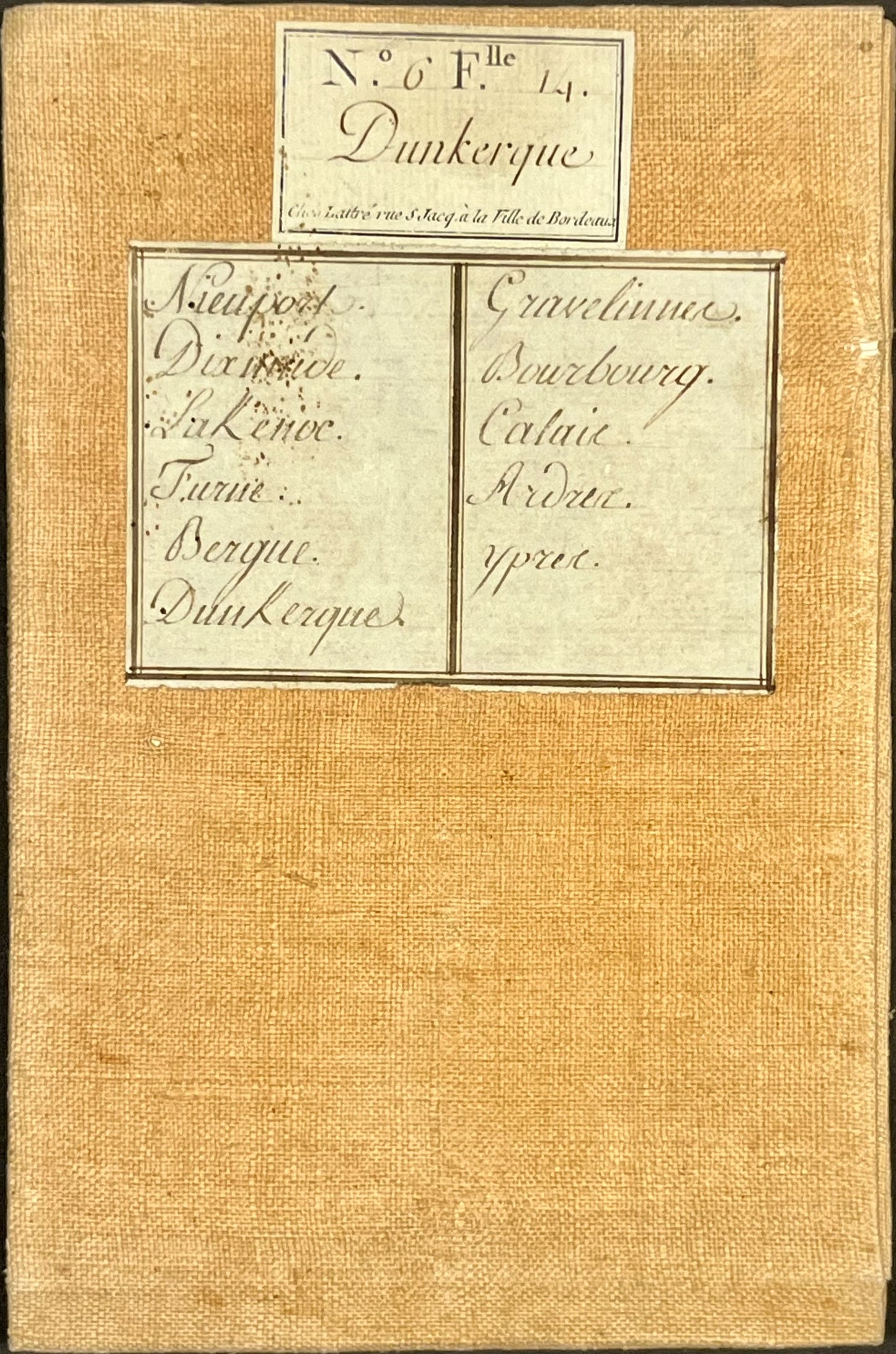
This linen-backed Cassini map, entitled "Dunkirk" (N°6), represents the north of the Nord-Pas-de-Calais. It was produced by the Cassini family at the end of the 18th century. Its period colors are magnificent. Its unfolded dimension is 92x58.5cm (21 sections).
Condition:
Very good condition. Please note, my maps are old and are not always in perfect condition!
Locations represented:
Calais, Guînes, Ardres, Audruicq, Watten, Bourbourg, Gravelines, Dunkerque, Bergues, Wormhout, Steenvoorde, Poperinge, Ypres, Furnes, Nieuport, Dixmude,...


-

Secure payment
-

Careful shipping
-

No reproduction
-

Satisfied or refunded


-

“Hello, thank you for sending this, the cards are superb!”
Jean-Philippe
-
"They are very beautiful, just need to frame them! Thank you"
Baptiste
-
"Fast shipping and very good tracking."
Alice
-
"My husband loved the maps I gave him for Christmas!"
Solène
