


Large antique map of the Pyrenees by Sr. Roussel - 1730
Large antique map of the Pyrenees by Sr. Roussel - 1730
Couldn't load pickup availability
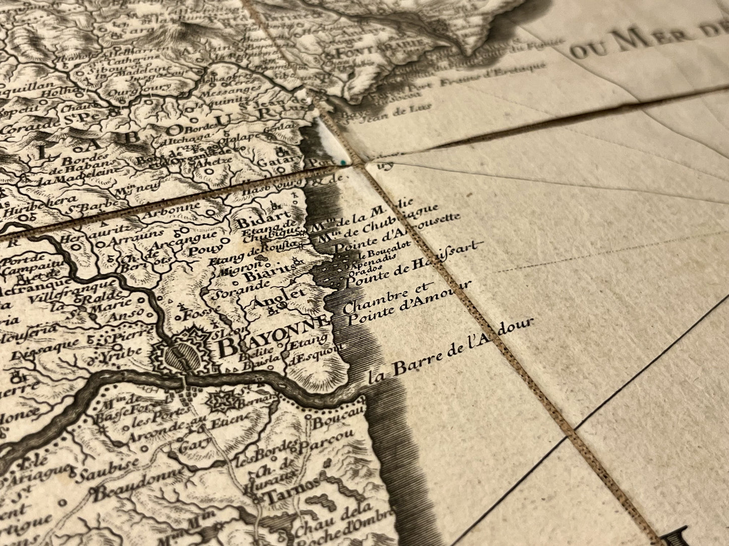
This large antique map extremely accurately covers the French and Spanish Pyrenees. Facing south, this map extends from Bayonne to Barcelona and from Perpignan to Pamplona. It is adorned with a magnificent cartouche stating "Carte Générale des Monts Pyrénées et Partie des Royaumes de France et d'Espagne. Par le Sr Roussel, Ingénieur du Roy".
Produced by Captain Roussel, the surveys were carried out from 1716 to 1719. The Spanish side was created from maps available at the time. Composed of four linen-backed maps, the total dimension of this masterpiece finalized in 1730 is 193x117cm.
Condition:
Good condition, canvas warped and worn in places, foxing. Please note, my maps are antique and are not always in perfect condition!
Main places represented:
Perpignan, Begur, Girona, Barcelona, Andorra, Limoux, Foix, Bagnères-de-Luchon, Lourdes, Tarbes, Pau, Bayonne, Pamplona,...


-

Secure payment
-

Careful shipping
-

No reproduction
-

Satisfied or refunded


-

“Hello, thank you for sending this, the cards are superb!”
Jean-Philippe
-
"They are very beautiful, just need to frame them! Thank you"
Baptiste
-
"Fast shipping and very good tracking."
Alice
-
"My husband loved the maps I gave him for Christmas!"
Solène
