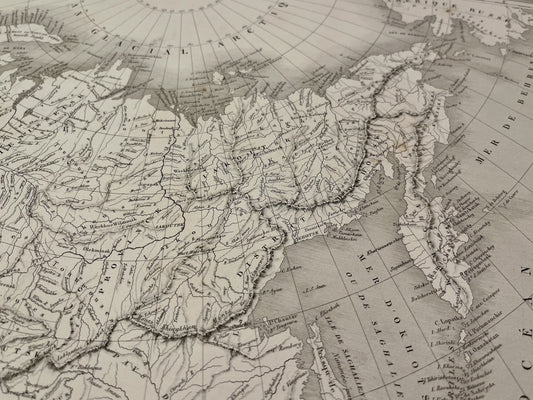
A renowned Parisian engraver and publisher
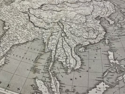
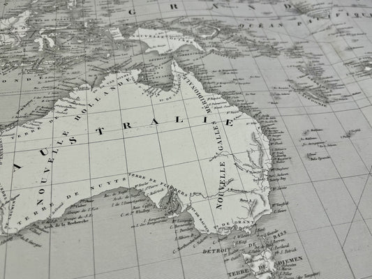
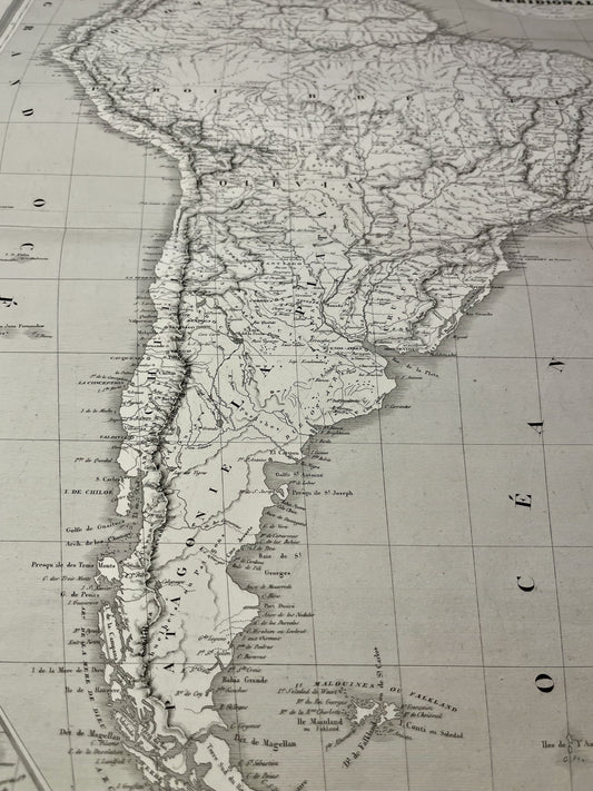
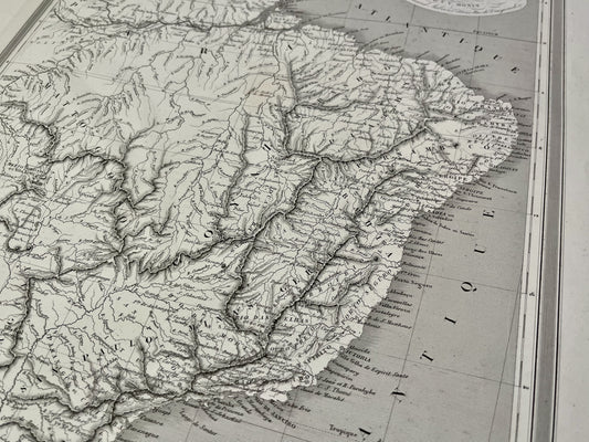
Based in Paris, Charles V. Monin distinguished himself through the technical precision of his publications, often produced on steel plates. He ran a prolific publishing house and collaborated with other leading figures in cartography of the time, such as Frémin. His works are renowned for their clarity and elegant execution, characteristic of French geographical production in the mid-19th century.
The Classic Atlas of Geography
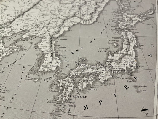
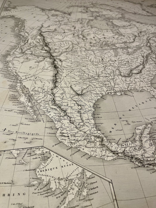
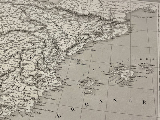
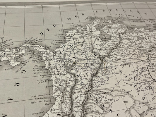
One of Charles V. Monin's most famous contributions is his Classic Atlas of Ancient and Modern Geography. This work has undergone numerous re-editions and updates to reflect the evolution of global geographical knowledge. The maps in this atlas are distinguished by their finely hand-colored outlines and high precision in the depiction of borders and landforms.
Diversity of cartographic production
In addition to his universal atlases, Monin published a wide variety of cartographic documents:
- Paris maps documenting the city before and during the major urban transformations of the century.
- Thematic and administrative maps of France.
- Detailed maps of French colonies and different regions of the world, often used in an educational context.
The work of Charles V. Monin remains today a reference for the study of 19th-century geography, testifying to the expertise of Parisian engraving workshops of that period.