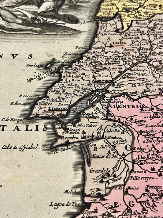
A Master Engraver in the Heart of Nuremberg
Born in Redwitz on November 9, 1654, Christoph Weigel trained in copper engraving in Augsburg, then worked in Vienna and Frankfurt before settling permanently in Nuremberg in 1698. By becoming a citizen of this city, then a true heart of European printing, he founded his own publishing house there.
A trained goldsmith, he brought remarkable finesse to engraving. He worked closely with his brother, Johann Christoph Weigel, as well as with the printer Köhler. Christoph Weigel died in Nuremberg on February 5, 1725.
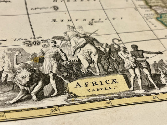
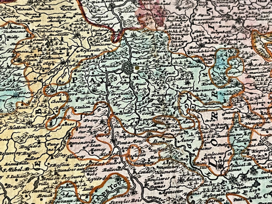
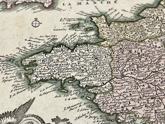
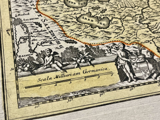
Collaboration with J. B. Homann and Cartographic Work
Although he ran his own firm, Weigel maintained close professional ties with J. B. Homann, Nuremberg's most prominent map publisher. This proximity resulted in joint works, as evidenced by the existence of maps of Asia co-signed by the two masters in 1719.
His contribution to cartography is inseparable from his partnership with the geographer Johann David Köhler, with whom he produced:
- The Schul-Atlas (School Atlas), one of the first of its kind designed for education.
- The Descriptio Orbis Antiqui, an atlas dedicated to the geography of the ancient world.
The "Ständebuch" and Family Legacy
Beyond maps, Weigel is famous for having published in 1698 the Abbildung der Gemein-Nützlichen Haupt-Stände (the Book of Trades). This monumental work contains over 200 engravings describing with almost encyclopedic precision the tools and gestures of the artisans of his time.
Upon his death in 1725, his widow took over the management of the company and published several of his works posthumously. The firm then came under the control of his son, Johann Christoph Weigel the Younger, who later partnered with Schneider to form the Schneider-Weigel house, active until the early 19th century.