Biography and rise of a master cartographer
Born in Gouda in 1629 or 1630 as Frederick de Wit, he moved to Amsterdam around 1648. There, he founded his own publishing house under the name "De Witte Pascaert" (The White Map). In 1661, he married Maria van der Way, which allowed him to obtain Amsterdam citizenship in 1662. His company quickly became one of the most prosperous in the city, especially after the disappearance of major competing houses such as those of Blaeu and Janssonius. In 1689, he received a 15-year privilege from the States of Holland and West Friesland for the publication of his maps.
Major works and publications
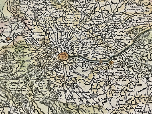
Frederik de Wit is famous for the diversity and quality of his cartographic production. His catalog includes world maps, large-format wall maps, and maritime atlases. From 1670, he published a world atlas that grew to contain up to 150 maps. His works also include a maritime atlas ("Orbis Maritimus" published around 1675) and a city atlas, the "Theatrum Praecipuarum Totius Europae Urbium". In 1660, he produced a famous world map, the "Nova Orbis Terrarum Delineatio", which illustrated the most recent geographical discoveries of the time.
Artistic style and influence
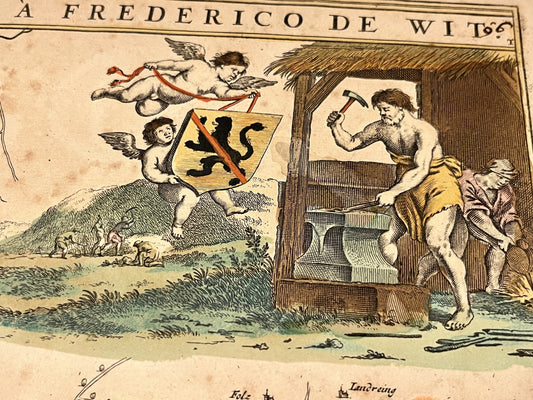
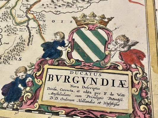
Frederik de Wit's style is distinguished by fine engraving and a keen sense of decoration. His maps are often adorned with elaborate cartouches, mythological figures, and genre scenes that reflect the Baroque aesthetic. Although he acquired many copper plates from publishers such as Blaeu or Janssonius, he managed to impose his own visual identity, characterized by richly illustrated borders. His influence was such that after his death in 1706, his plates were acquired by Pieter Mortier, then by the firm Covens & Mortier, thus continuing to circulate for several decades.
A lasting cartographic legacy
De Wit's workshop was located in the Kalverstraat, a nerve center of print trade in Amsterdam. In addition to geographical maps, he published art prints and illustrated bibles. His work helped standardize the representation of the world at the end of the 17th century, by integrating precise hydrographic information on his maritime maps. After his death, his widow Maria maintained the activity until 1710, thus preserving the integrity of a collection that remains today a major reference for the study of ancient cartography.