-
Old Pan-Am road map of Arkansas - ca. 1950
Regular price 35,00 €Regular priceUnit price per -
Old Indiana Road Map by Shell - ca. 1950
Regular price 30,00 €Regular priceUnit price per -
Old Ohio Road Map by Cities Services - ca. 1950
Regular price 30,00 €Regular priceUnit price per -
Old Oklahoma Road Map by Cities Services - ca. 1950
Regular price 30,00 €Regular priceUnit price per -
Old road map of Oregon published by Chevron - ca. 1950
Regular price 35,00 €Regular priceUnit price per -
Antique road map of the Western and Central United States by Shell - ca. 1950
Regular price 35,00 €Regular priceUnit price per -
Old road map of California published by 76 Union - ca. 1950
Regular price 40,00 €Regular priceUnit price per -
Old Pacific Coast Road Map by Cities Services - ca. 1950
Regular price 35,00 €Regular priceUnit price per -
Old road map of Florida and the Southeastern States published by Pure - ca. 1950
Regular price 30,00 €Regular priceUnit price per -
Old road map of Florida and the Southeastern States published by Pure - ca. 1960
Regular price 35,00 €Regular priceUnit price per -
Old New England Road Map by Cities Services - ca. 1950
Regular price 35,00 €Regular priceUnit price per -
Old Road Map of New England by Esso - 1961
Regular price 35,00 €Regular priceUnit price per -
Old road map of Pennsylvania published by Esso - 1961
Regular price 30,00 €Regular priceUnit price per -
Old road map of San Francisco and surrounding area published by Chevron - ca. 1950
Regular price 35,00 €Regular priceUnit price per -
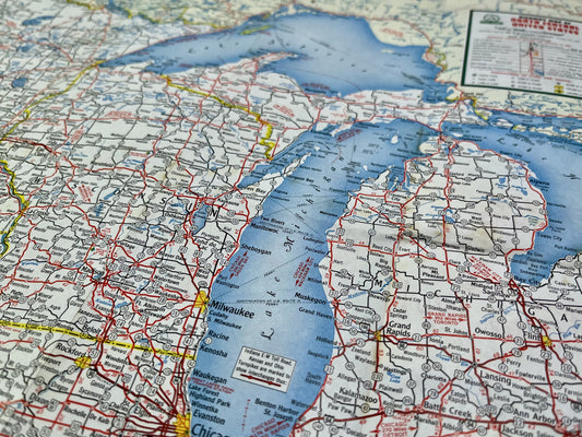
Old Road Map of the North Central States by AAA - 1952
Regular price 35,00 €Regular priceUnit price per -
Antique road map of the Northwestern States by AAA - 1952
Regular price 35,00 €Regular priceUnit price per -
Antique road map of the Southeastern States published by Standard Oil - ca. 1950
Regular price 30,00 €Regular priceUnit price per -
Antique road map of the Southeastern States by AAA - ca. 1950
Regular price 35,00 €Regular priceUnit price per -
Old Road Map of Central United States by Cities Services - ca. 1950
Regular price 30,00 €Regular priceUnit price per -
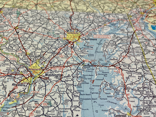
Old road map of Delaware, Maryland and the Virginias published by Esso - 1961
Regular price 30,00 €Regular priceUnit price per -
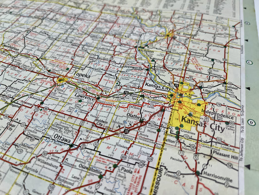
Old Kansas Road Map by Cities Services - ca. 1950
Regular price 30,00 €Regular priceUnit price per -
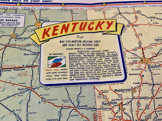
Old road map of Kentucky and Tennessee by Gulf - ca. 1950
Regular price 35,00 €Regular priceUnit price per -
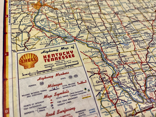
Antique Shell Road Map of Kentucky and Tennessee - ca. 1950
Regular price 40,00 €Regular priceUnit price per -
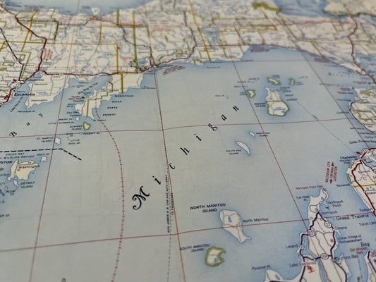
Old Michigan Road Map by Shell - ca. 1950
Regular price 35,00 €Regular priceUnit price per


