


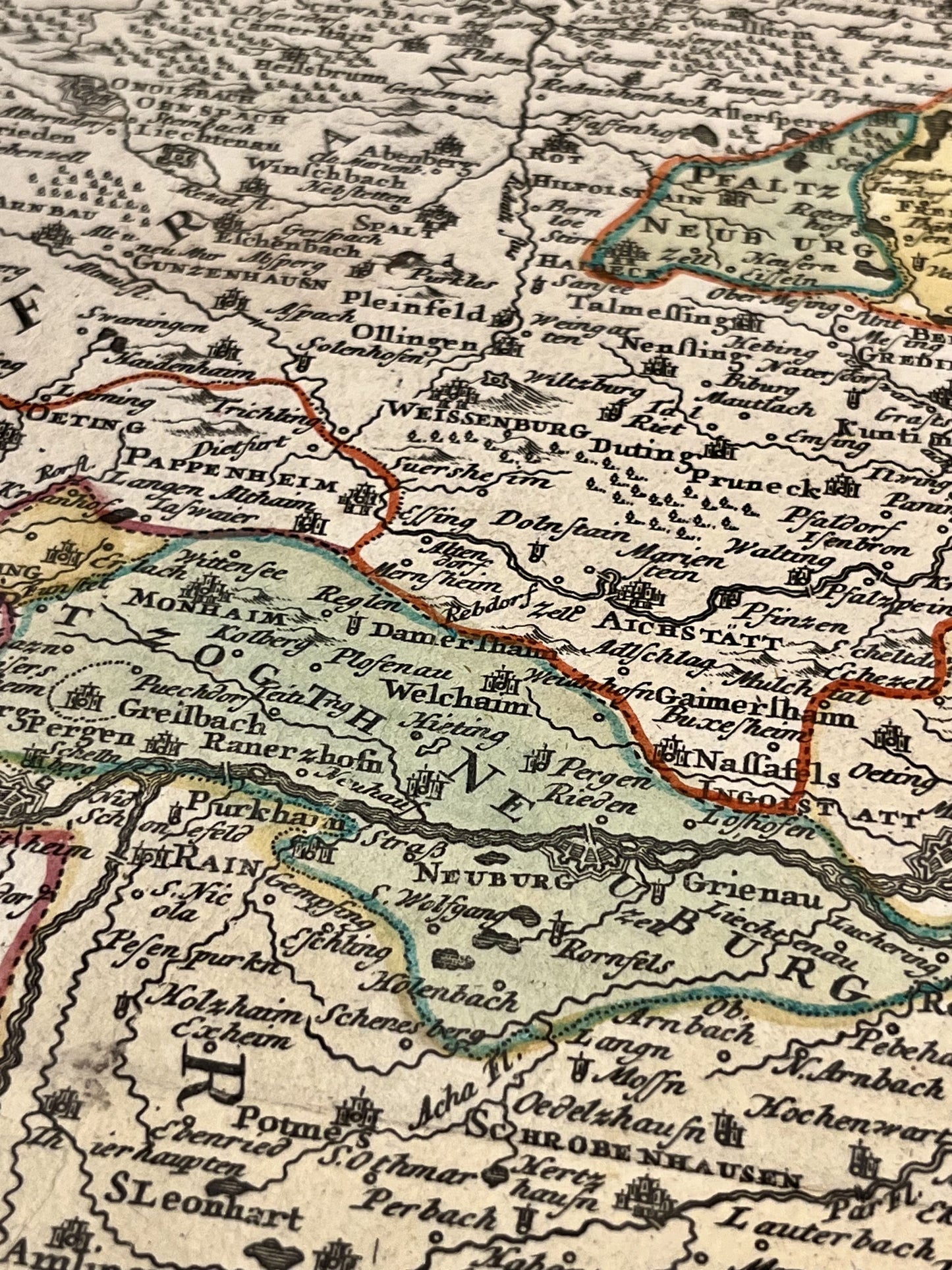
Antique map of Bavaria by J.B. Homann - ca. 1700
Antique map of Bavaria by J.B. Homann - ca. 1700
Couldn't load pickup availability
This antique map of Germany depicting Bavaria was created by the German cartographer Johann Baptist Homann in the early 18th century. The dimensions of this map are 62x53.5cm.
Condition:
Good condition, stains, central fold. Please note, my maps are antique and are not always in perfect condition!
Places represented:
Munich, Landshut, Straubing, Deggendorf, Passau, Braunau am Inn, Mühldorf am Inn, Salzburg, Augsburg, Ingolstadt, Nuremberg, Amberg,...


-

Secure payment
-

Careful shipping
-

No reproduction
-

Satisfied or refunded


-

“Hello, thank you for sending this, the cards are superb!”
Jean-Philippe
-
"They are very beautiful, just need to frame them! Thank you"
Baptiste
-
"Fast shipping and very good tracking."
Alice
-
"My husband loved the maps I gave him for Christmas!"
Solène
