


Antique map of Normandy by G. Delisle - 1716
Antique map of Normandy by G. Delisle - 1716
Couldn't load pickup availability
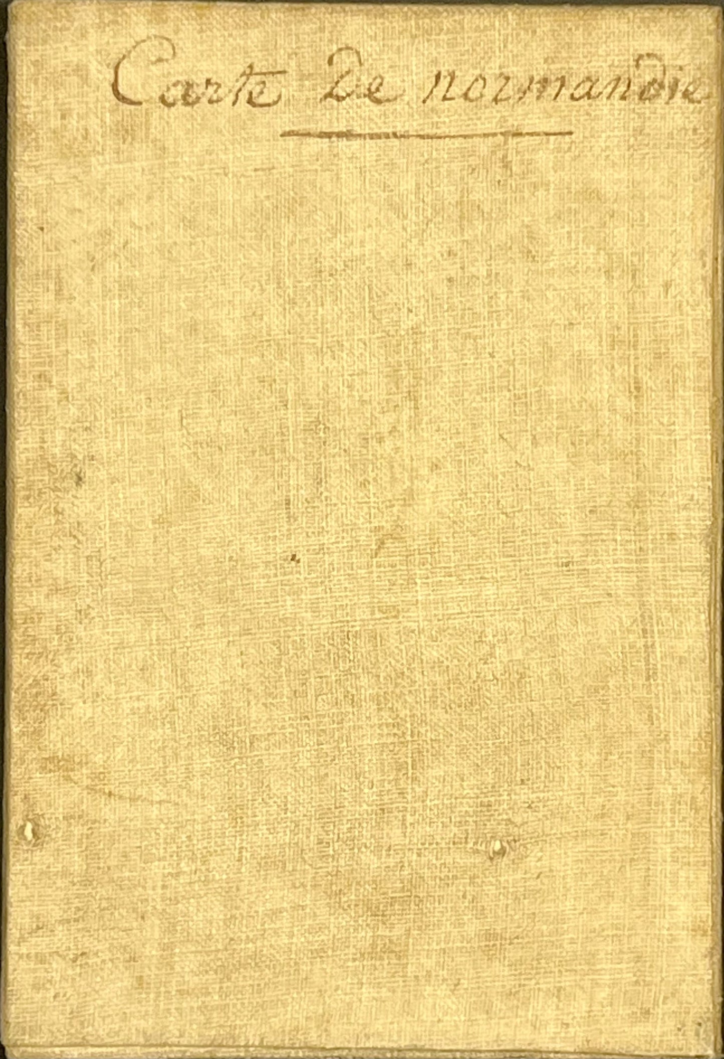
This antique map of Normandy is linen-backed and was drawn by the French cartographer Guillaume Delisle in 1716. Its dimensions are 70x51.5cm.
Condition:
Minimal stains, linen worn in places. Please note, my maps are antique and are not always in perfect condition!
Main places shown:
Cherbourg, La Hague, Coutances, Avranches, Mont-Saint-Michel, Bayeux, Vire, Caen, Falaise, Domfront, Lisieux, Rouen, Le Havre, Yvetot, Dieppe,...


-

Secure payment
-

Careful shipping
-

No reproduction
-

Satisfied or refunded


-

“Hello, thank you for sending this, the cards are superb!”
Jean-Philippe
-
"They are very beautiful, just need to frame them! Thank you"
Baptiste
-
"Fast shipping and very good tracking."
Alice
-
"My husband loved the maps I gave him for Christmas!"
Solène
