A cartographer at the heart of Parisian publishing
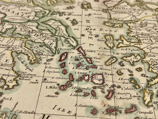
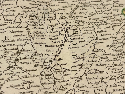
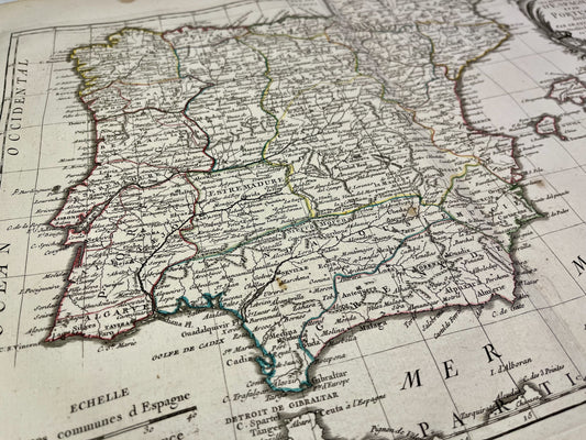
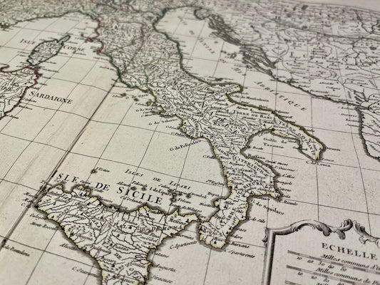
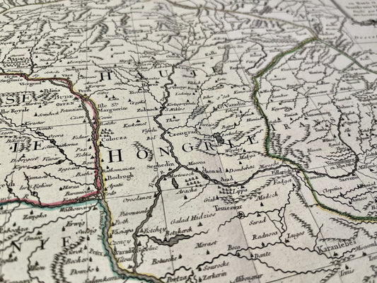
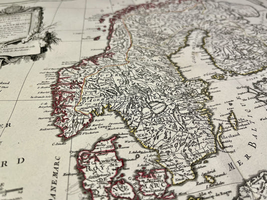
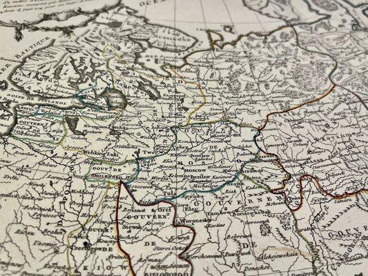
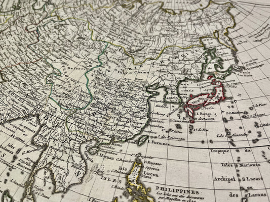
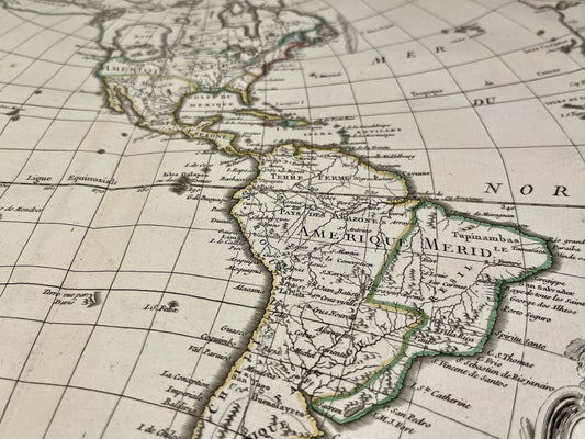
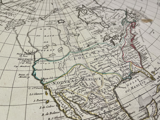
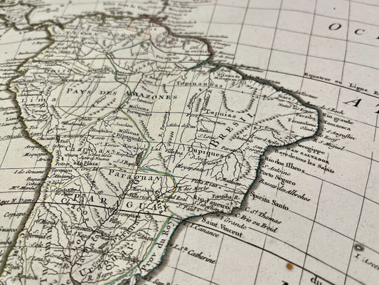
Jean Janvier, who often signed his works "Le Sieur Janvier," practiced his craft at a time when Paris was the world center of cartographic production. Although few personal details survive about his life, his importance is attested to by his numerous collaborations with the capital's most prestigious publishers, notably Jean Lattré and Remi-Henri-Joseph Delalain. His offices were located on Rue des Francs-Bourgeois, under the sign "To the City of Bordeaux."
Major contributions to reference atlases
Jean Janvier's work is inextricably linked to the major publishing projects of the 18th century. He is particularly renowned for his contributions to several emblematic works:
- The Modern Atlas, published around 1762 in collaboration with Jean Lattré, for whom he drew up numerous maps.
- The atlases of Rigobert Bonne, another prominent royal geographer with whom he often worked.
- Maps intended for education and use by travelers, appreciated for their clarity and the elegance of their ornamental cartouches.
A cartography between art and science
Janvier's style is characterized by a combination of geographical precision and meticulous attention to engraving. His maps cover the entire known world, from details of French provinces to the distant lands of Asia and America. Working with the most skilled engravers, he produced documents that served not only as navigational and study tools but are also considered works of art representative of French taste in the pre-revolutionary period.