-
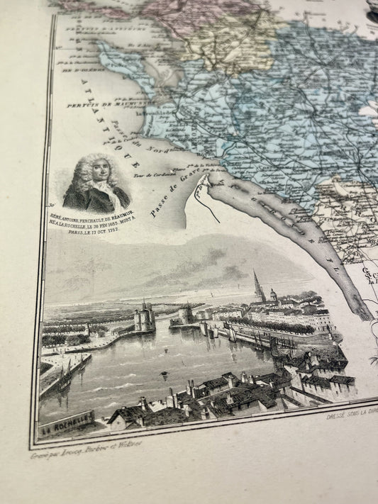
Old map of Charente-Maritime by A. Vuillemin
Regular price 33,00 €Regular priceUnit price per -
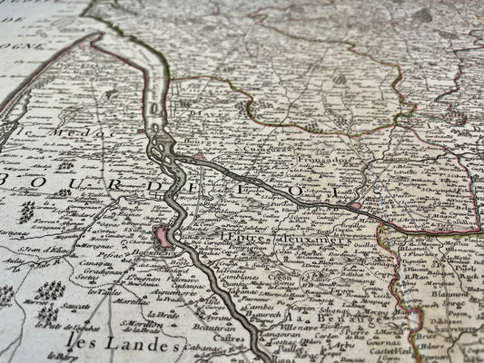
Old map of Bordeaux and Périgord by G. Delisle - 1714
Regular price 160,00 €Regular priceUnit price per220,00 €Sale price 160,00 €Sale -
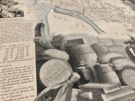
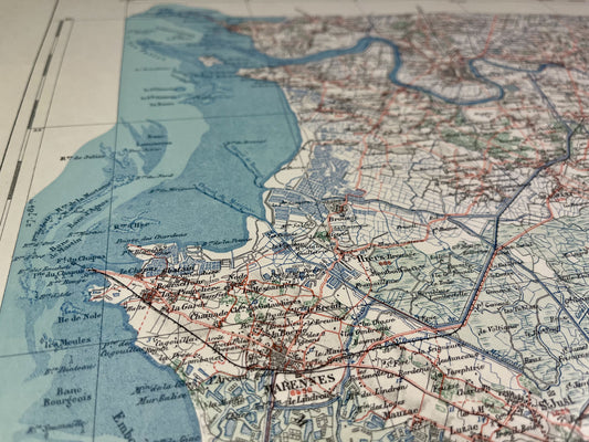
Antique map of Charente-Maritime by V. Levasseur
Regular price 39,00 €Regular priceUnit price per46,00 €Sale price 39,00 €Sale -
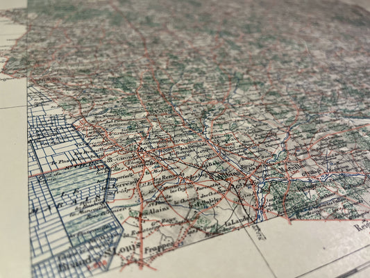
Antique map of Poitou by Longchamps - 1767
Regular price 190,00 €Regular priceUnit price per240,00 €Sale price 190,00 €Sold out -
Old IGN map of Saint-Jean-d'Angély and its surroundings
Regular price 45,00 €Regular priceUnit price per -
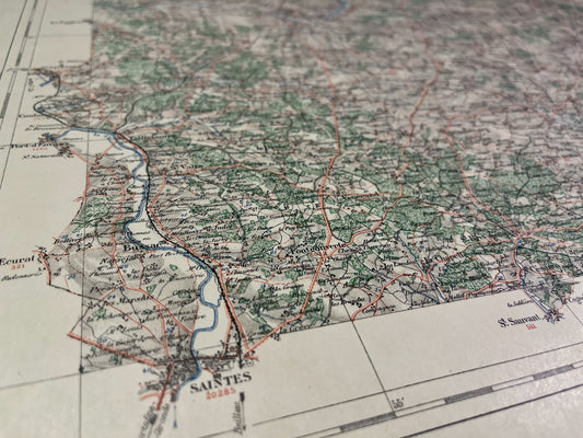
Old IGN map of Saintes and its surroundings
Regular price 45,00 €Regular priceUnit price per -
Map of the Jonzac Vicinal Service
Regular price 45,00 €Regular priceUnit price per -
Map of the Saint-Jean-d'Angély Vicinal Service
Regular price 45,00 €Regular priceUnit price per -
Rochefort Vicinal Service Map
Regular price 45,00 €Regular priceUnit price per -
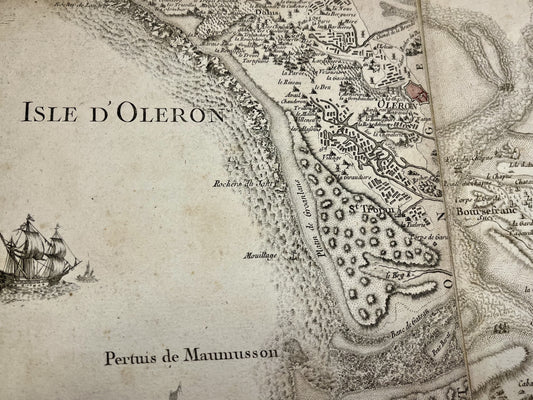
Cassini map of Saintes, the Island of Oléron and their surroundings
Regular price 190,00 €Regular priceUnit price per -
Cassini map of Blaye, the Côte du Médoc and their surroundings
Regular price 180,00 €Regular priceUnit price per -
Antique map of the General Government of the Pays Orléans by J. Blaeu - ca. 1660
Regular price 240,00 €Regular priceUnit price per -
Antique map of the General Prefecture of Orléans by G. Valk - ca. 1720
Regular price 250,00 €Regular priceUnit price per