-
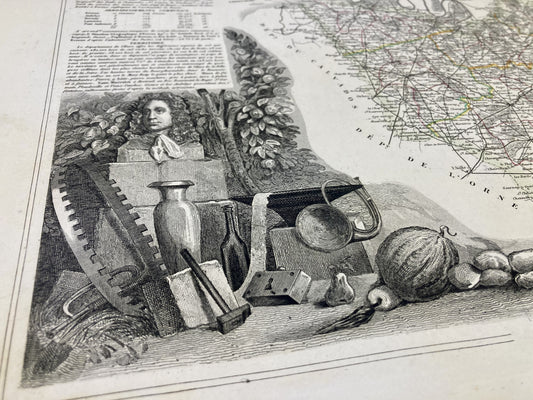
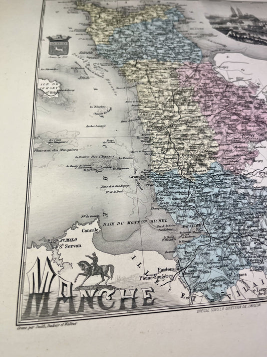
Antique map of the Manche by V. Levasseur
Regular price 42,00 €Regular priceUnit price per46,00 €Sale price 42,00 €Sold out -
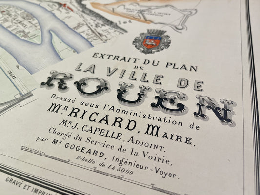
Antique map of Rouen drawn up under the Administration of Mr. Ricard - 1883
Regular price 370,00 €Regular priceUnit price per -
General Staff Map of Yvetot and its surroundings
Regular price 100,00 €Regular priceUnit price per -
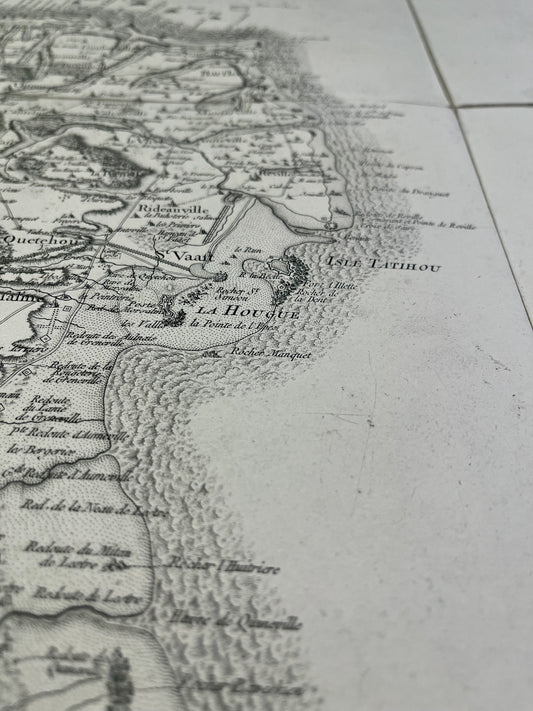
Cassini map of Saint-Vaast-la-Hougue and its surroundings
Regular price 100,00 €Regular priceUnit price per -
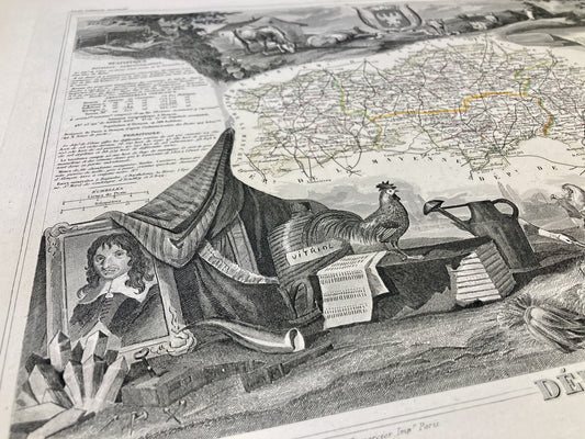
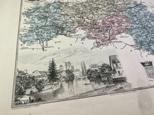
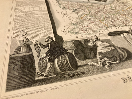
Antique map of Orne by V. Levasseur
Regular price 26,00 €Regular priceUnit price per39,00 €Sale price 26,00 €Sale -
Old map of Normandy by JB. Nolin - ca. 1700
Regular price 190,00 €Regular priceUnit price per230,00 €Sale price 190,00 €Sold out -
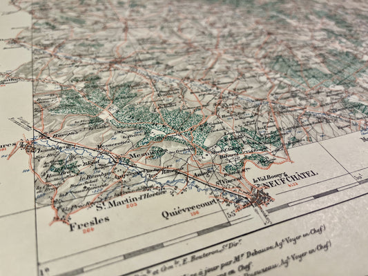
General Staff Map of Falaise and its surroundings
Regular price 100,00 €Regular priceUnit price per -
Old map of Seine-Maritime by A. Vuillemin
Regular price 27,00 €Regular priceUnit price per -
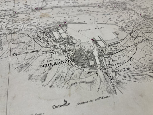
General Staff Map of Cherbourg and its surroundings
Regular price 100,00 €Regular priceUnit price per -
Antique map of Maine and Perche by G. Delisle - 1745
Regular price 120,00 €Regular priceUnit price per160,00 €Sale price 120,00 €Sold out -
Old nautical chart from Cherbourg to La Hougue
Regular price 65,00 €Regular priceUnit price per -
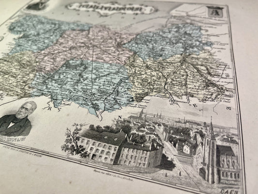
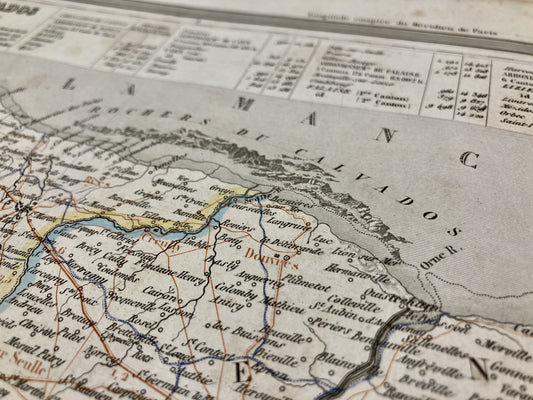
Old map of Calvados by A. Vuillemin
Regular price 22,00 €Regular priceUnit price per -
General Staff Map of Coutances and its surroundings
Regular price 100,00 €Regular priceUnit price per -
Old IGN map of Bricquebec and its surroundings
Regular price 45,00 €Regular priceUnit price per -
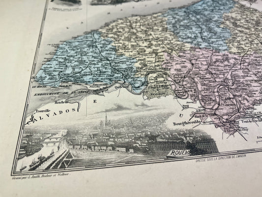
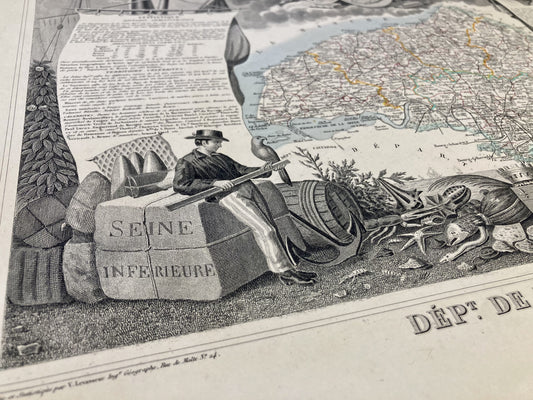
Antique map of Seine-Maritime by V. Levasseur
Regular price 32,00 €Regular priceUnit price per46,00 €Sale price 32,00 €Sale -
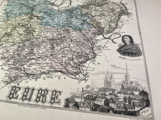
Antique map of Eure by V. Levasseur
Regular price 32,00 €Regular priceUnit price per39,00 €Sale price 32,00 €Sale -
Old map of Eure by A. Vuillemin
Regular price 22,00 €Regular priceUnit price per -
Old IGN map of Granville and its surroundings
Regular price 45,00 €Regular priceUnit price per -
Old map of Orne by A. Vuillemin
Regular price 22,00 €Regular priceUnit price per -
Antique map of Calvados by V. Levasseur
Regular price 32,00 €Regular priceUnit price per39,00 €Sale price 32,00 €Sale -
Old map of the the Manche by A. Vuillemin
Regular price 27,00 €Regular priceUnit price per -
Gisors Local Service Map
Regular price 45,00 €Regular priceUnit price per -
Old map of Calvados by AH Dufour
Regular price 30,00 €Regular priceUnit price per -
Aumale Vicinal Service Map
Regular price 45,00 €Regular priceUnit price per


