A scientific journey between Padua and Paris
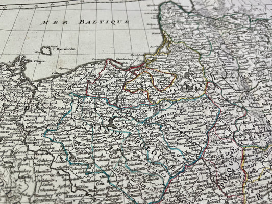
Born in Padua, Rizzi-Zannoni studied at the University of Padua between 1749 and 1751. His career took on a European dimension when he was commissioned by the King of Poland to map that country, thus achieving the first triangulation of Poland. After traveling in Germany, Denmark, and Sweden, he arrived in Paris in 1757 as a prisoner of war after the Battle of Rossbach. He would remain in France for twenty years, where he worked at the Bureau des Ingénieurs and became, between 1772 and 1775, the first hydrographer at the Dépôt des cartes et plans de la Marine (Naval Chart and Map Depository).
Major collaborations and publications
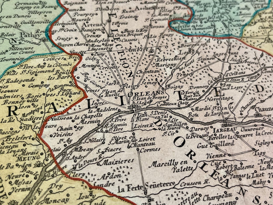
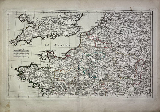
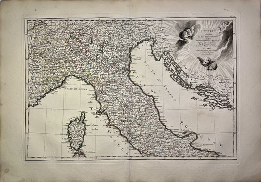
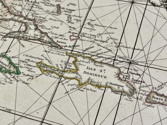
During his stay in Paris, Rizzi Zannoni collaborated with renowned publishers, notably Jean Lattré. Together, they published the Atlas Moderne starting in 1762. His work is distinguished by the use of astronomical methods to determine the position of places, breaking with the approximations of his predecessors. He also produced important works on North America, such as the Carte de la Guerre en Amérique, as well as military atlases covering the theater of war in Germany.
The great work of the Kingdom of Naples
In 1781, he moved to Naples at the request of the Bourbon monarchy to revise the map of the kingdom. This colossal project resulted in the Atlante Geografico del Regno di Napoli, completed in 1812. This work, composed of 31 sheets, is famous for its finesse and geographical precision. Rizzi Zannoni ended his life in Naples in 1814, leaving behind a cartographic production that marked the end of the 18th century.