The origins and the Cassini dynasty
The cartographic enterprise has its roots in the reign of Louis XIV with the creation of the Academy of Sciences in 1666 and the projects of Jean-Baptiste Colbert. Four members of the Cassini family succeeded one another in carrying out this work: Jean-Dominique (Cassini I), Jacques (Cassini II), César-François (Cassini III), and Jean-Dominique (Cassini IV). Jean-Dominique Cassini, the first director of the Paris Observatory, initiated measurements as early as the end of the 17th century. In 1681, Abbot Jean Picard presented the project for a "geographic framework" for France, envisioning a major route from Dunkirk to Perpignan.
The triangulation of the kingdom
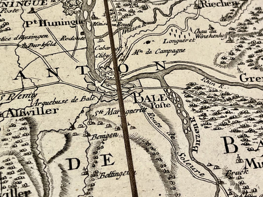
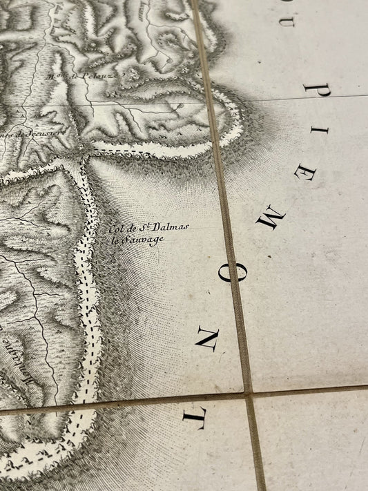
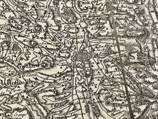
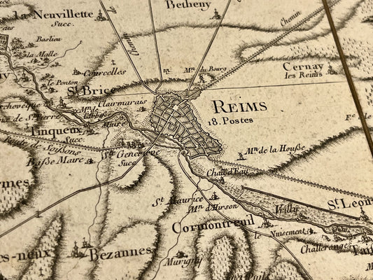
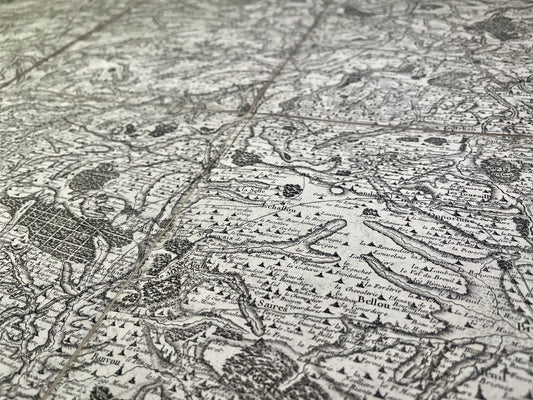
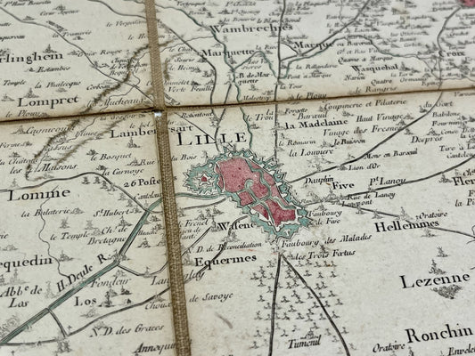
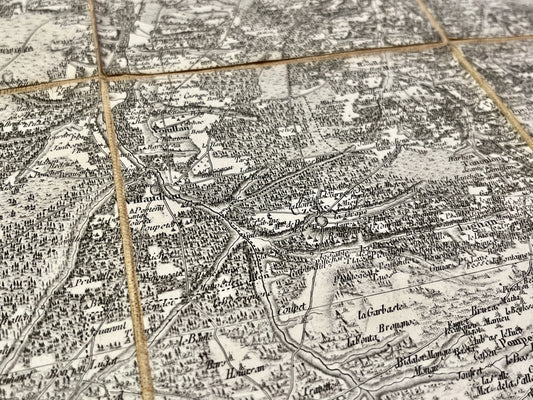
The unique feature of the Cassini map lies in its use of geodetic triangulation, the development of which took over sixty years. This network is based on the Paris Meridian, the tracing of which was completed in 1718 by Cassini I and Cassini II, and then verified in 1739 by César-François Cassini and Nicolas Louis de Lacaille. In 1744, a "map of the principal triangles" was published by Maraldi and Cassini de Thury, laying the foundations for the geometric description of the country with over 800 interconnected triangles.
The creation of the map of France
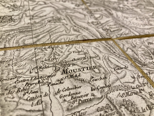
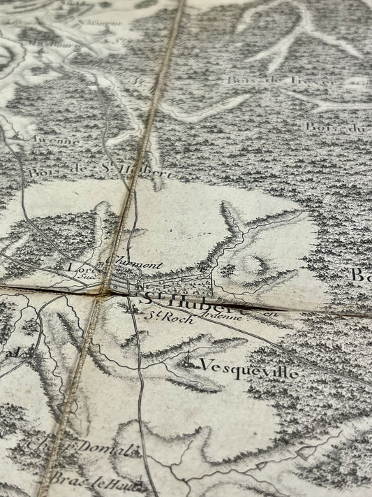
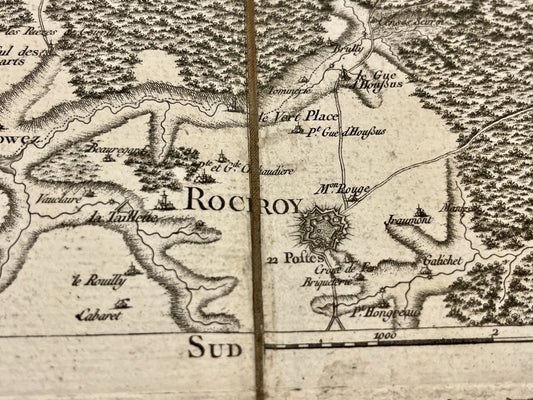
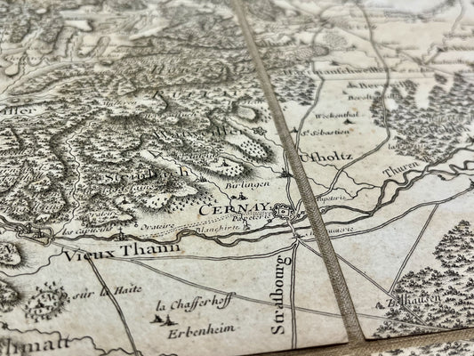
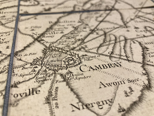
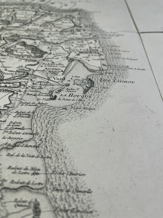
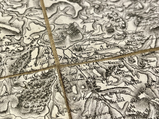
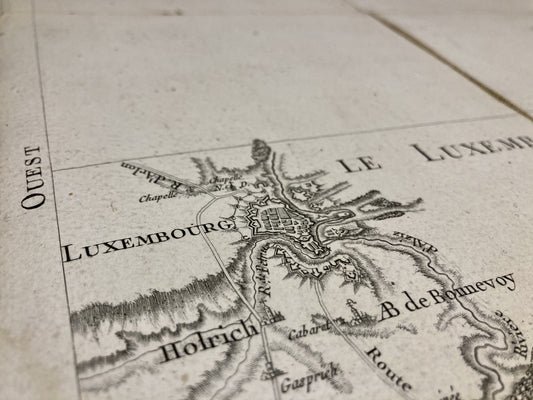
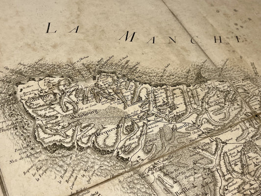
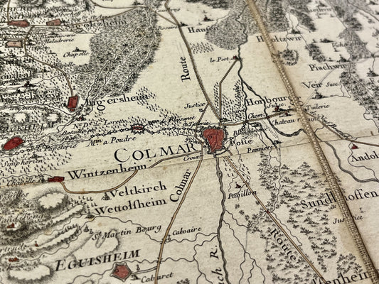
The official launch of detailed mapping of the kingdom was initiated by a decision of Louis XV in 1747, following a meeting with César-François Cassini in Flanders. Amazed by the accuracy of a map of the Raucoux region, the king ordered a survey of his entire kingdom. The first sheets, Paris and Beauvais, were presented in 1746. The scale adopted was one line per hundred toises, or 1/86,400. Each sheet covered an area of approximately 80x50 km and was based on around 300 triangulation points (church steeples, towers, summits).
Financing and nationalization
In 1756, faced with royal funding difficulties due to the war, Cassini III founded the "Société de la carte de France" (French Map Society) to continue the work privately. In 1793, while France was at war, the National Convention ordered the nationalization of the map for reasons of military security. It was then transferred to the Observatory, and later to the War Depot. The entire project is considered complete around 1818. In total, 180 individual sheets were published, constituting today a major resource for the study of the historical state of the territory.