Jean Leclerc's journey in Paris
Jean Leclerc (or Johannes Le Clerc) was born around 1560. Son of bookseller Jean I Leclerc, he took over the family business after his father's death. Settling in Paris, he operated first on the rue de la Harpe, under the sign of the Estrier d'argent, then on the rue Saint-Jean-de-Latran, under the sign of the Salamander. Recognized as a sworn bookseller and engraver to the King, he remained active until his death in 1621 or 1622.
The publication of the Geographical Theatre of the Kingdom of France
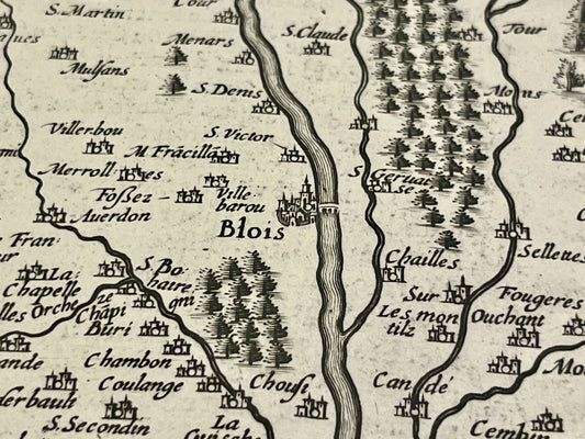
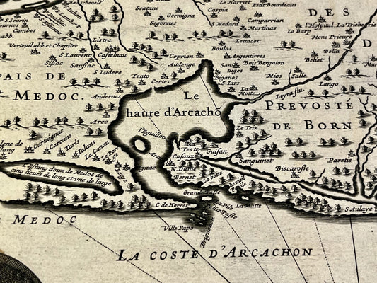
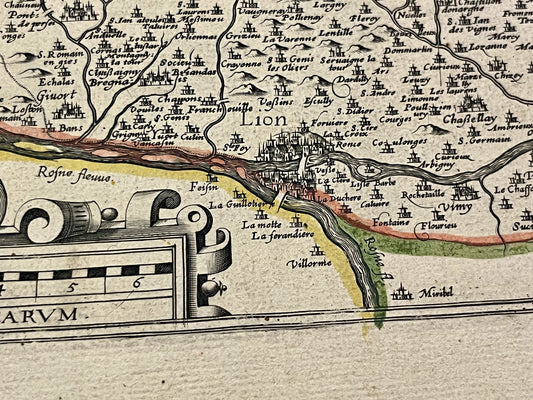
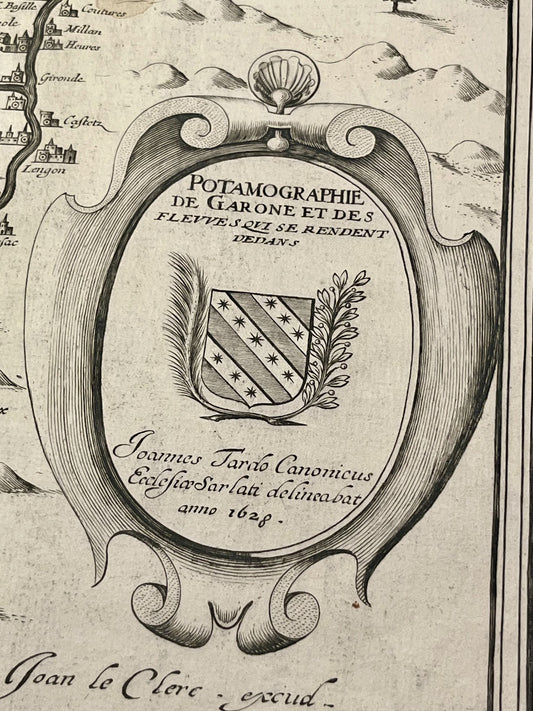
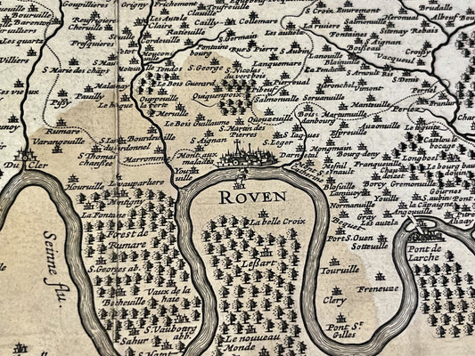
Jean Leclerc's main contribution to geography lies in the publication of the atlas entitled Geographical theatre of the Kingdom of France in 1619. To create this work, he relied on the work of Maurice Bouguereau, author of the first French national atlas (The Françoys Theatre, 1594), from which he acquired the copper plates. Jean Leclerc considerably enriched this work, increasing the number of maps from 16 to 37 in 1619, then to 45 in the 1620 edition. These maps, often engraved by Jodocus Hondius or Pieter van den Keere, cover the provinces of the kingdom and the bordering territories.
Succession and distribution of the plates
After Jean Leclerc's death, his widow ensured the continuation of the bookshop and published a new edition of the atlas in 1621. In 1636, the entire business and the engraved copper plates were acquired by Jean Boisseau. This transfer allowed Jean Leclerc's maps to continue circulating and influencing French cartographic production throughout the 17th century.