Gilles Robert de Vaugondy’s Role in French Geography
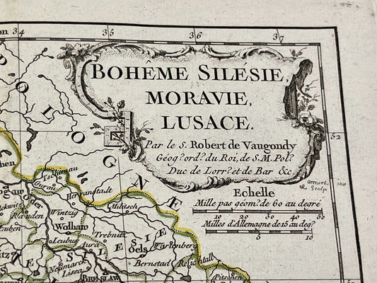
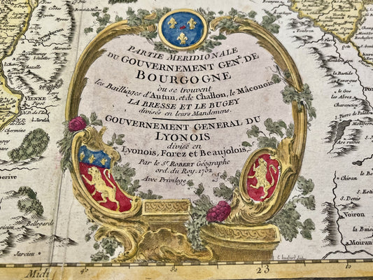
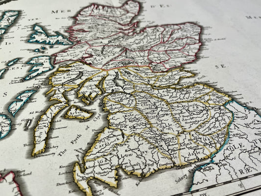
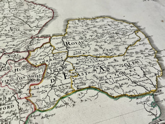
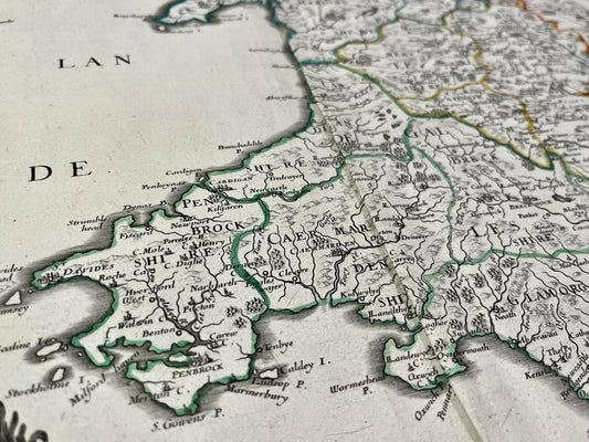
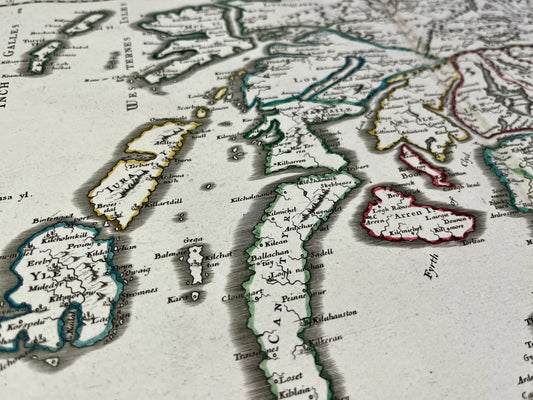
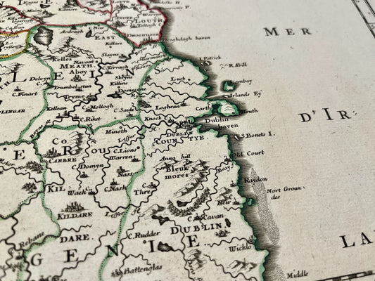
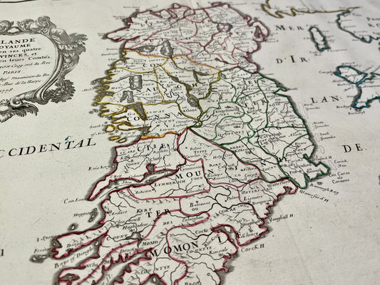
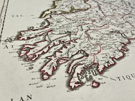
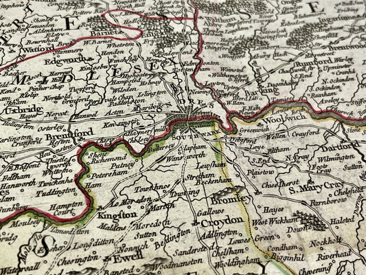
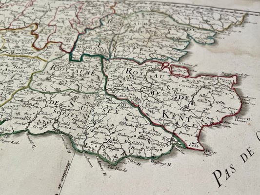
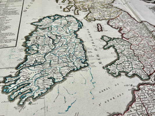
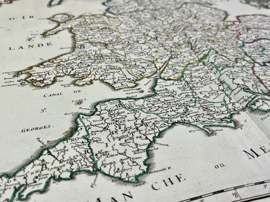
Gilles Robert de Vaugondy, also known as Robert de Vaugondy, worked in Paris in the 18th century as ordinary geographer to the King. His work was partly based on the cartographic legacy of Nicolas Sanson, passed down by Pierre Moullart-Sanson. This documentary base enabled him to create numerous maps and globes, thus consolidating his reputation in the field of scientific geography.
Didier Robert de Vaugondy’s Contribution and Family Collaboration
Gilles’ son, Didier Robert de Vaugondy, shared the titles of ordinary geographer to the King and geographer to His Polish Majesty. His career was marked by close collaboration with his father, particularly in the creation of the Atlas Universel (Universal Atlas), a major work whose publication required more than fifteen years of preparation. Didier is also recognized for his contribution to Diderot and D'Alembert’s Encyclopédie, where he wrote articles on geography.
The Atlas Universel and Globe Production
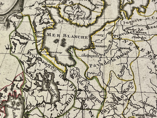
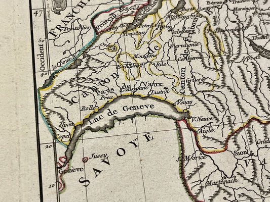
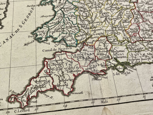
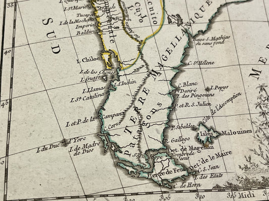
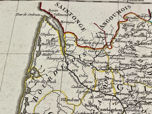
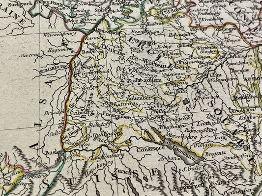
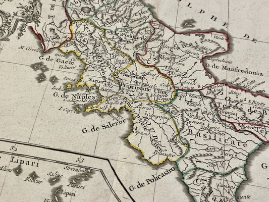
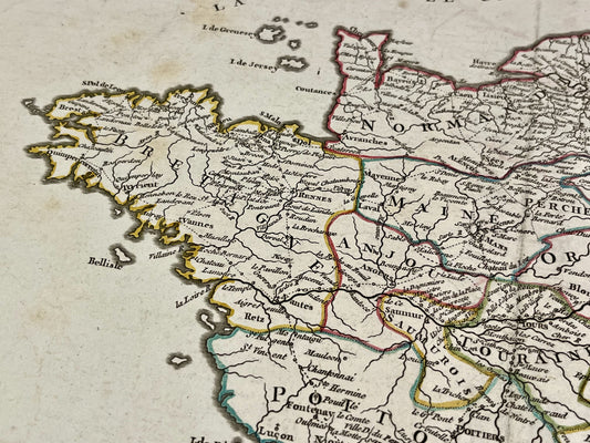
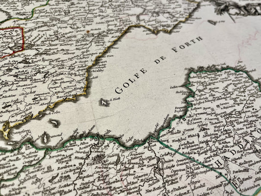
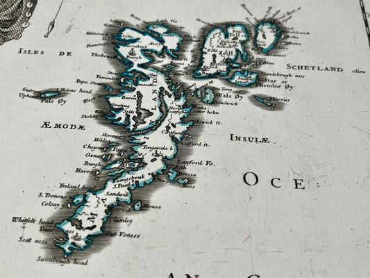
The Atlas Universel is one of the Robert de Vaugondys’ most significant achievements. For this work, particular attention was paid to correcting old sources using astronomical surveys and travel journals. In addition to maps, the family specialized in the manufacture of globes of different sizes, some of which were presented to the Royal Academy of Sciences. Their cartographic production covered all known continents, from European countries to territories in America and Asia.
A Cartographic Legacy Between Science and Commerce
The Robert de Vaugondys’ activity was not limited to map creation; it encompassed a significant editorial and commercial dimension in Paris. By continuing the work of the Sansons, they ensured continuity in French geographical production. Their maps were renowned for using varied sources, ranging from military maps to explorers’ accounts, aiming to offer the most accurate vision of the world possible for their time.