-
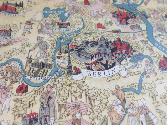
Illustrated map of Germany by Walter Riemer - 1936
Regular price 244,00 €Regular priceUnit price per -
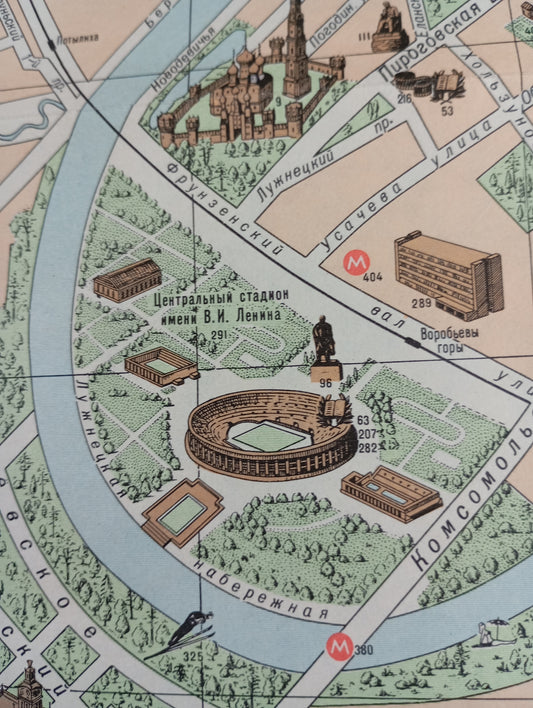
Illustrated tourist map of Moscow - ca. 1960
Regular price 245,00 €Regular priceUnit price per -
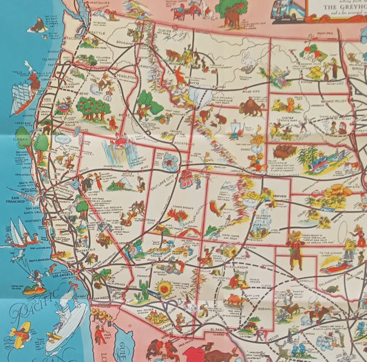
Retro Illustrated Road Map of the United States by Greyhound Lines - ca. 1930
Regular price 250,00 €Regular priceUnit price per -
Vintage World Poster "Educational Sugoroku" - Osaka Mainichi Shimbun, 1925
Regular price 250,00 €Regular priceUnit price per -
Vintage Humorous Illustrated Map – "Cartoon Map of California" by Reg Manning, 1939
Regular price 260,00 €Regular priceUnit price per -
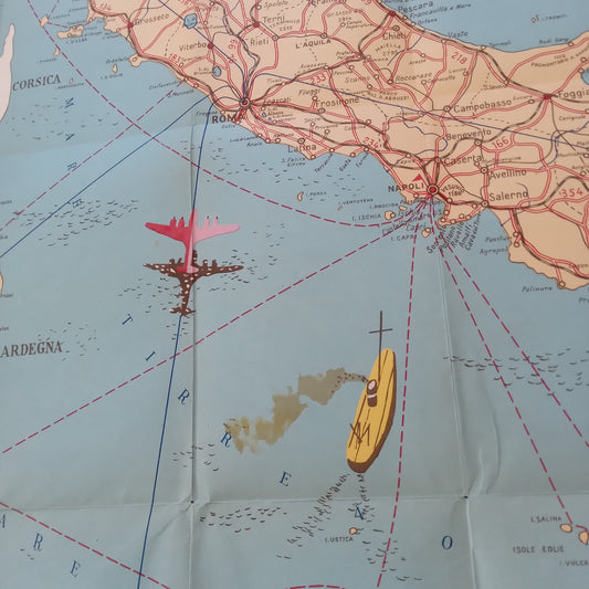
Geographical and illustrated map of Italy by road, rail, sea and air - 1953
Regular price 260,00 €Regular priceUnit price per -
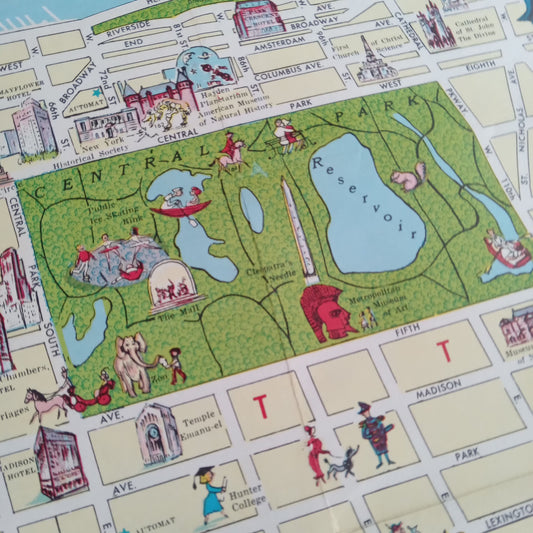
Illustrated map of New York - 1956 by Ira Moss
Regular price 263,00 €Regular priceUnit price per -
Vintage illustrated map of New Zealand by A.D. Baldwin - 1961
Regular price 264,00 €Regular priceUnit price per -
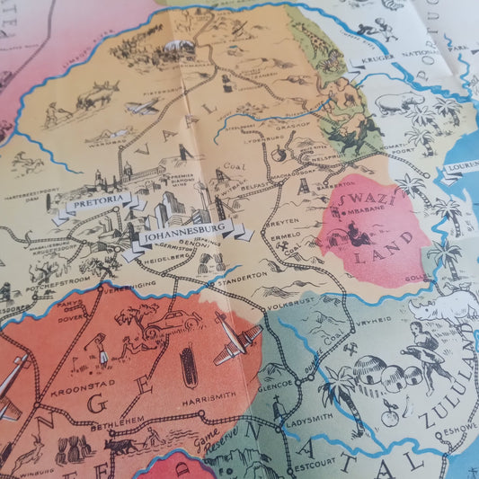
Tourist Map of South Africa - 1937
Regular price 272,00 €Regular priceUnit price per -
Poster of the Messageries Maritimes: Madagascar and Comoros - 1950
Regular price 273,00 €Regular priceUnit price per -
Vintage educational poster of the United States forests by American Forest Products Industries - 1953
Regular price 276,00 €Regular priceUnit price per -
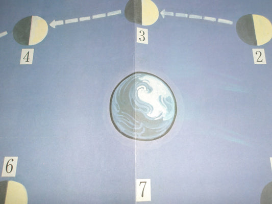
Chinese school chart from the 50s/60s – The phases of the Moon
Regular price 277,00 €Regular priceUnit price per -
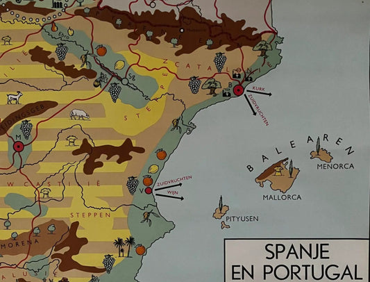
Vintage map of Spain and Portugal - ca. 1960
Regular price 279,00 €Regular priceUnit price per -
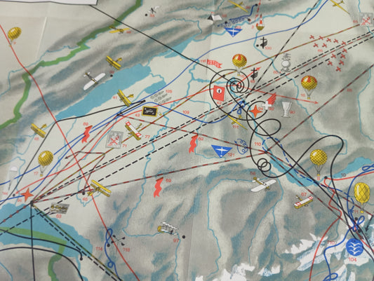
Pictorial poster of Swiss aviation "So lernten wir fliegen" - 1941
Regular price 280,00 €Regular priceUnit price per -
Retro Illustrated Map - World of Flowers - 1972
Regular price 280,00 €Regular priceUnit price per -
Vintage map of the Moon, visible and hidden sides - IGN - 1969
Regular price 280,00 €Regular priceUnit price per -
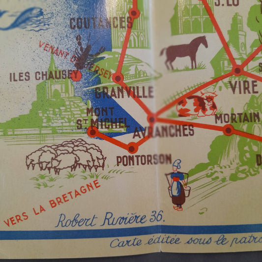
Retro tourist map of Normandy by Robert Rivière - 1936
Regular price 286,00 €Regular priceUnit price per -
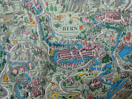
Pictorial map of Switzerland, by Otto M. Müller - 1939
Regular price 289,00 €Regular priceUnit price per -
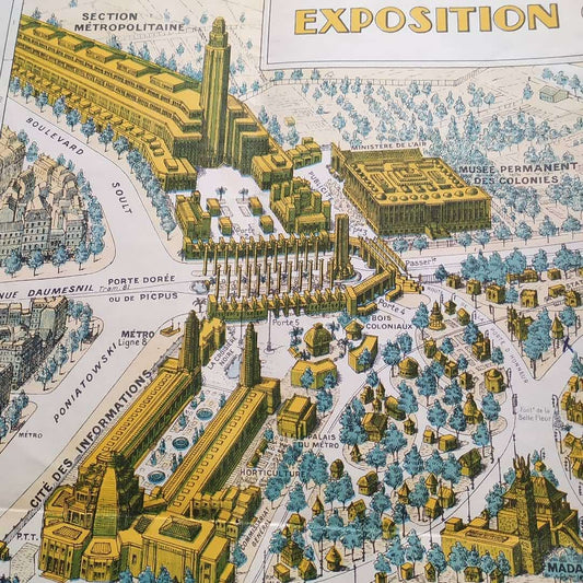
Illustrated poster of the International Colonial Exhibition in Paris - 1931
Regular price 290,00 €Regular priceUnit price per -
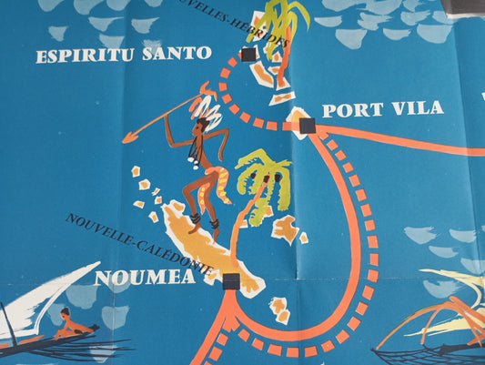
Retro map of the Pacific Ocean Line (New Caledonia) by CM Perrot - ca. 1950
Regular price 290,00 €Regular priceUnit price per -
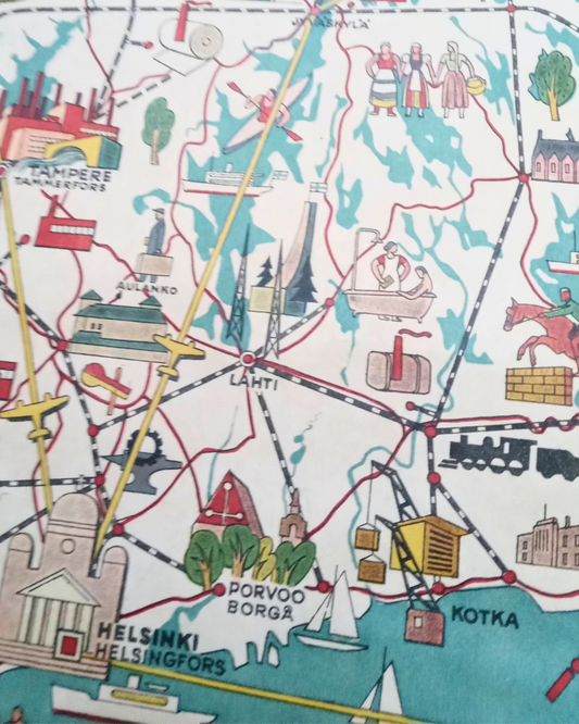
Old and illustrated map of Finland - 1949
Regular price 320,00 €Regular priceUnit price per -
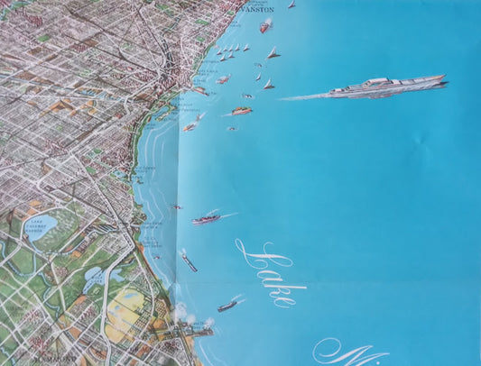
Panoramic map of Chicagoland by Homer Grooman - 1964
Regular price 324,00 €Regular priceUnit price per -
Vintage pictorial poster of the World Tour - ca. 1950
Regular price 325,00 €Regular priceUnit price per -
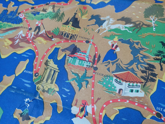
Old illustrated map of the Grand Circuit des Capitales by Chocolat Menier - ca. 1950
Regular price 325,00 €Regular priceUnit price per